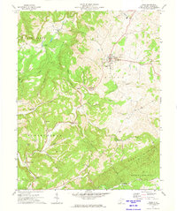
1971 Map of Union
USGS Topo · Published 1974About this map
Union sits at the center of this 1970s survey, serving as a hub within the undulating terrain of Monroe County. The settlement pattern reflects the area's agricultural and social roots, with numerous rural congregations and resting places scattered across the landscape, including Rehobeth Ch, Mount Pleasant Ch, and Green Hill Cem. The geography is defined by the prominent Swoopes Knobs and Little Mountain, which frame the agricultural reaches of Sweet Springs Valley. A historical Covered Bridge spans Indian Creek near St Johns Cem, marking a traditional crossing point in the Springfield district. Further south, the map details the small communities of Willow Bend, Raines Corner, and Zenith, where life followed the paths of Dropping Lick Creek and Turkey Creek before modern developments altered the rural character of the region.
Find a feature on this map
45 named features on this map. Tap any name to fly to it.
Don’t see what you’re looking for? This feature index may not catch every label — zoom into the map to look around manually.
Map Details
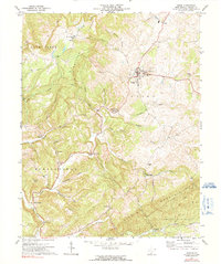
Editions of this 1971 Union Map
2 editions found
Other maps of this area

1887 · Hinton
USGS Topo · 1:125,000

1887 · Lewisburg
USGS Topo · 1:125,000

1890 · Dublin
USGS Topo · 1:125,000

1890 · Christiansburg
USGS Topo · 1:125,000

1891 · Lewisburg
USGS Topo · 1:125,000

1891 · Dublin
USGS Topo · 1:125,000

1892 · Hinton
USGS Topo · 1:125,000

1921 · Alderson
USGS Topo · 1:48,000

1921 · Ronceverte
USGS Topo · 1:48,000

1923 · Ronceverte
USGS Topo · 1:62,500