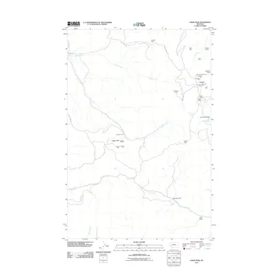
2011 Map of Union Peak
USGS Topo · Published 2011About this map
Coloma and its surrounding mining claims define the eastern edge of this landscape, situated near the headwaters of Washoe Creek. The settlement is closely tied to its industrial heritage, with concentrated operations at the Coloma Mine, Mammoth Mine, Clemantha Mine, and Cato Mine. The map reveals a high density of extraction sites scattered across the drainages, including the Copper Cliff area and more remote locations like the Comet Mine to the north.
Find a feature on this map
36 named features on this map. Tap any name to fly to it.
Don’t see what you’re looking for? This feature index may not catch every label — zoom into the map to look around manually.
Map Details
Editions of this 2011 Union Peak Map
This is the sole edition of this map. No revisions or reprints were ever made.
Other maps of this area

1903 · Bonner
USGS Topo · 1:125,000

1919 · Drummond
USGS Topo · 1:125,000

1921 · Drummond
USGS Topo · 1:125,000

1947 · Butte
USGS Topo · 1:250,000

1958 · Butte
USGS Topo · 1:250,000

1959 · Bearmouth
USGS Topo · 1:62,500

1959 · Ravenna
USGS Topo · 1:62,500

1960 · Butte
USGS Topo · 1:250,000

1962 · Butte
USGS Topo · 1:250,000

1965 · Union Peak
USGS Topo · 1:24,000