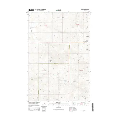
2014 Map of Union Peak
USGS Topo · Published 2014About this map
Coloma and the nearby Copper Cliff settlement sit high in the Garnet Range of western Montana, straddling the border of Missoula and Granite counties. This 2014 survey reveals a landscape deeply carved by drainage systems, with numerous named gulches like Klondike Gulch and Sleepy Tom Gulch feeding into larger watercourses such as Tenmile Cr and Union Cr. The area is marked by its mining-era legacy, indicated by the location of the Coloma Cem and Southern Gross Spring.
Find a feature on this map
38 named features on this map. Tap any name to fly to it.
Don’t see what you’re looking for? This feature index may not catch every label — zoom into the map to look around manually.
Map Details
Editions of this 2014 Union Peak Map
This is the sole edition of this map. No revisions or reprints were ever made.
Other maps of this area

1903 · Bonner
USGS Topo · 1:125,000

1919 · Drummond
USGS Topo · 1:125,000

1921 · Drummond
USGS Topo · 1:125,000

1947 · Butte
USGS Topo · 1:250,000

1958 · Butte
USGS Topo · 1:250,000

1959 · Bearmouth
USGS Topo · 1:62,500

1959 · Ravenna
USGS Topo · 1:62,500

1960 · Butte
USGS Topo · 1:250,000

1962 · Butte
USGS Topo · 1:250,000

1965 · Union Peak
USGS Topo · 1:24,000