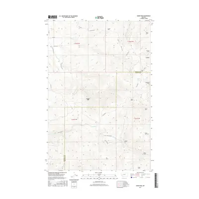
2017 Map of Union Peak
USGS Topo · Published 2017About this map
Coloma and Copper Cliff anchor this high-elevation landscape along the border of Missoula and Granite Counties. The area is characterized by a dense network of gulches and creeks, including Cramer Creek and Tenmile Creek, which drainage the mountainous terrain surrounding Union Peak. Local history is centered on the settlement at Coloma, where the Coloma Cemetery and nearby Sand Park suggest a localized community infrastructure developed within the Garnet Range. The road network, including the Garnet Range Road and Union Peak Road, follows the natural contours of the land, connecting these remote outposts. Named landmarks such as Klondike Gulch, Cannonball Gulch, and Southern Cross Spring point to a history of prospecting and resource discovery in the region's higher reaches.
Find a feature on this map
42 named features on this map. Tap any name to fly to it.
Don’t see what you’re looking for? This feature index may not catch every label — zoom into the map to look around manually.
Map Details
Editions of this 2017 Union Peak Map
This is the sole edition of this map. No revisions or reprints were ever made.
Other maps of this area

1903 · Bonner
USGS Topo · 1:125,000

1919 · Drummond
USGS Topo · 1:125,000

1921 · Drummond
USGS Topo · 1:125,000

1947 · Butte
USGS Topo · 1:250,000

1958 · Butte
USGS Topo · 1:250,000

1959 · Bearmouth
USGS Topo · 1:62,500

1959 · Ravenna
USGS Topo · 1:62,500

1960 · Butte
USGS Topo · 1:250,000

1962 · Butte
USGS Topo · 1:250,000

1965 · Union Peak
USGS Topo · 1:24,000