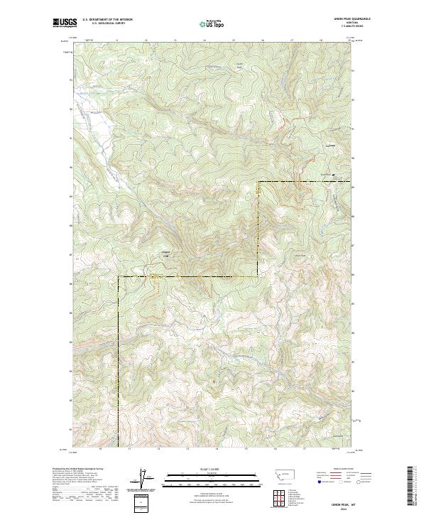
2024 Map of Union Peak
USGS Topo · Published 2024About this map
The Missoula and Granite county line bisects this mountainous stretch of the Garnet Range, where the terrain is marked by steep ridges and narrow gulches. Coloma and Sand Park represent the primary settlements in this high-elevation landscape, situated near the headwaters of several drainage systems. Historically, this area was defined by its mineral wealth and the rugged infrastructure required to extract it, evidenced by landmarks like Copper Cliff and the local Sand Park Cem. The water network is intricate, with Union Creek and Cramer Creek cutting through the slopes, while smaller features like Southern Cross Spring provided essential resources for those living in the upper reaches of the mountains.
Find a feature on this map
40 named features on this map. Tap any name to fly to it.
Don’t see what you’re looking for? This feature index may not catch every label — zoom into the map to look around manually.
Map Details
Editions of this 2024 Union Peak Map
This is the sole edition of this map. No revisions or reprints were ever made.
Other maps of this area

1903 · Bonner
USGS Topo · 1:125,000

1919 · Drummond
USGS Topo · 1:125,000

1921 · Drummond
USGS Topo · 1:125,000

1947 · Butte
USGS Topo · 1:250,000

1958 · Butte
USGS Topo · 1:250,000

1959 · Bearmouth
USGS Topo · 1:62,500

1959 · Ravenna
USGS Topo · 1:62,500

1960 · Butte
USGS Topo · 1:250,000

1962 · Butte
USGS Topo · 1:250,000

1965 · Union Peak
USGS Topo · 1:24,000