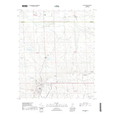
2018 Map of Union Springs
USGS Topo · Published 2018About this map
Union Springs serves as the regional anchor of this landscape, situated at a geographic divide where the headwaters of the Conecuh River and Little Conecuh River flow southward while numerous creeks like Cubahatchee Cr and Moseley Cr drain toward the north. The settlement pattern is characterized by small, distinct communities such as Sedgefield, Chunnenuggee, and Armstrong, often connected by a network of county roads. Genealogists will find a high density of burial sites throughout the terrain, including the Ivory Cem, Moultrie Cem, and Ridgeley Cem, which are frequently located near historic crossroads or family landholdings. Notable local landmarks like the Oak Hill Sch and various water bodies such as Bentons Lake and Schorr Lake reflect the agricultural and community development of this central Alabama region.
Find a feature on this map
94 named features on this map. Tap any name to fly to it.
Don’t see what you’re looking for? This feature index may not catch every label — zoom into the map to look around manually.
Map Details
Editions of this 2018 Union Springs Map
This is the sole edition of this map. No revisions or reprints were ever made.
Other maps of this area

1955 · Phenix City
USGS Topo · 1:250,000

1957 · Phenix City
USGS Topo · 1:250,000

1958 · Phenix City
USGS Topo · 1:250,000

1971 · Hardaway
USGS Topo · 1:24,000

1971 · Thompson
USGS Topo · 1:24,000
1971 · Almeria
USGS Topo · 1:24,000
1973 · Union Springs
USGS Topo · 1:24,000
1973 · Midway
USGS Topo · 1:24,000
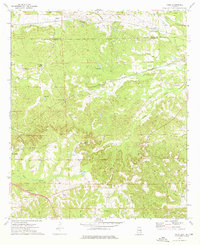
1973 · Roba
USGS Topo · 1:24,000
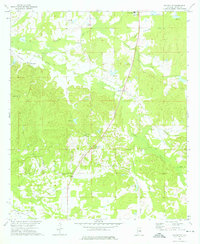
1973 · Davisville
USGS Topo · 1:24,000