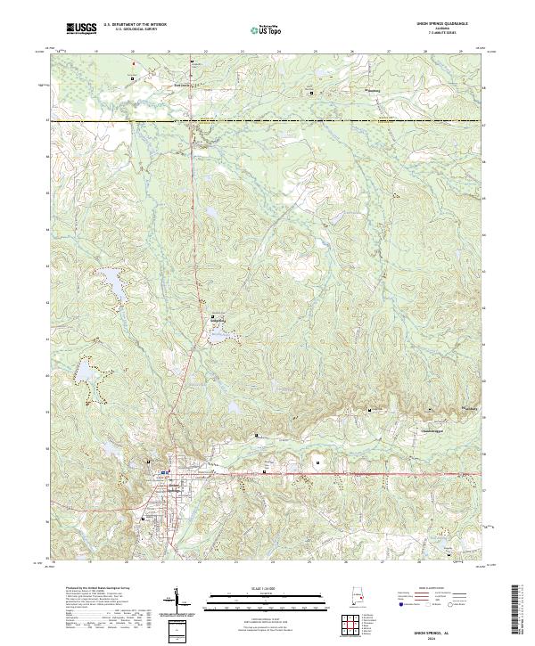
2024 Map of Union Springs
USGS Topo · Published 2024About this map
Union Springs serves as the focal point of this Bullock County landscape, where the Bullock County Courthouse anchors a street grid that transitions into the surrounding agricultural and timber lands. The area is defined by its numerous small burial grounds and rural communities, such as Chunnenuggee and Fort Davis, which reflect the region's deep-rooted settlement history. Significant watercourses like the Conecuh River and Old Town Creek drain the undulating terrain, punctuated by local landmarks like Schorr Lake and Bentons Lake. To the north, the boundary between Macon and Bullock counties cuts across the drainage of Moores Creek and Dobbs Creek. The distribution of family and community cemeteries, including Mason Cem and Moultrie Cem, provides a detailed record of the local genealogical landscape in this part of Alabama.
Find a feature on this map
87 named features on this map. Tap any name to fly to it.
Don’t see what you’re looking for? This feature index may not catch every label — zoom into the map to look around manually.
Map Details
Editions of this 2024 Union Springs Map
This is the sole edition of this map. No revisions or reprints were ever made.
Other maps of this area

1955 · Phenix City
USGS Topo · 1:250,000

1957 · Phenix City
USGS Topo · 1:250,000

1958 · Phenix City
USGS Topo · 1:250,000

1971 · Hardaway
USGS Topo · 1:24,000

1971 · Thompson
USGS Topo · 1:24,000
1971 · Almeria
USGS Topo · 1:24,000
1973 · Union Springs
USGS Topo · 1:24,000
1973 · Midway
USGS Topo · 1:24,000
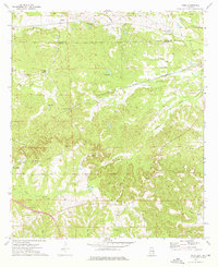
1973 · Roba
USGS Topo · 1:24,000
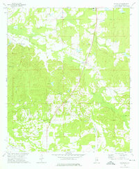
1973 · Davisville
USGS Topo · 1:24,000