Loading...
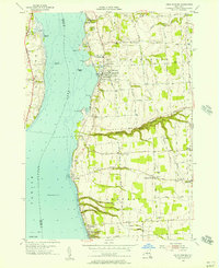
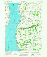
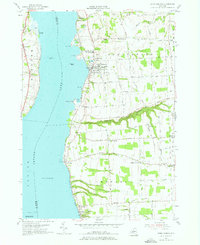
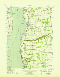
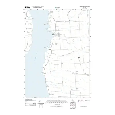
Loading map...1955 Map of Union Springs
USGS Topo · Published 1957About this map
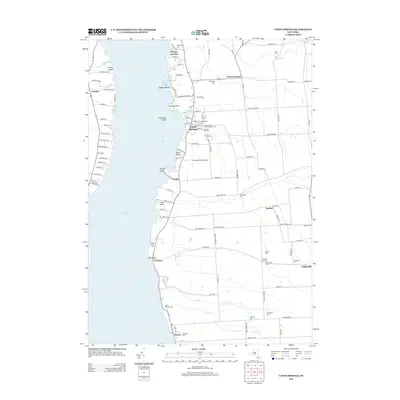
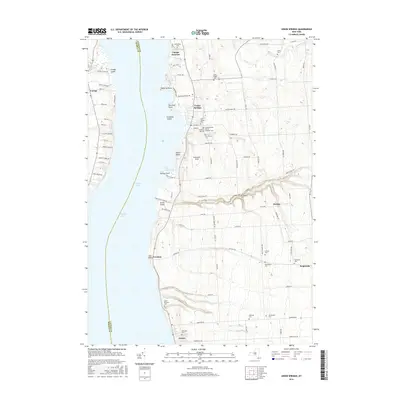
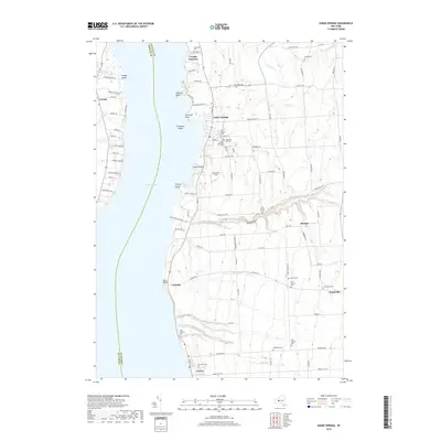
Cayuga Lake dominates the western half of this mid-1950s survey, its eastern shoreline defined by a series of points including Allens Pt and Long Pt. The Lehigh Valley railroad corridor traces the water's edge, connecting the lakeside villages of Union Springs and Aurora. This transportation spine supported a landscape of orchards and agriculture, where inland crossroads like Cooneys Corners and Barbers Corners served as local hubs.
Find a feature on this map
62 named features on this map. Tap any name to fly to it.
Don’t see what you’re looking for? This feature index may not catch every label — zoom into the map to look around manually.
Map Details
Date Portrayed1955
Date Published1957
PublisherU.S. Geological Survey
Map TypeTopographic
Scale1:24,000
Physical Dimensions22.1 x 27 inches
Editions of this 1955 Union Springs Map
Historical Maps of Fayette Through Time
7 maps found

Featured Locations
Source Details
SourceU.S. Geological Survey
CopyrightPublic Domain