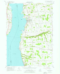
1955 Map of Union Springs
USGS Topo · Published 1976About this map
Cayuga Lake dominates the western half of this mid-century survey, with its shoreline dotted by historic points like Hibiscus Pt and the small Frontenac Island. The eastern shore serves as a corridor for the Lehigh Valley railroad, connecting lakeside settlements from Union Springs and Levanna down to Aurora. The landscape is characterized by a series of deep east-west drainage features, most notably Great Gully, which cuts through the terrain south of Union Springs.
Find a feature on this map
70 named features on this map. Tap any name to fly to it.
Don’t see what you’re looking for? This feature index may not catch every label — zoom into the map to look around manually.
Map Details
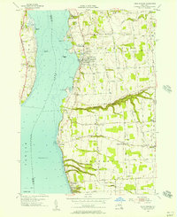
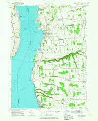
Editions of this 1955 Union Springs Map
Other maps of this area

1899 · Auburn
USGS Topo · 1:62,500

1902 · Geneva
USGS Topo · 1:62,500

1902 · Genoa
USGS Topo · 1:62,500

1902 · Ovid
USGS Topo · 1:62,500

1902 · Auburn
USGS Topo · 1:62,500

1942 · Ovid
USGS Topo · 1:31,680

1942 · Sheldrake
USGS Topo · 1:24,000

1942 · Genoa
USGS Topo · 1:24,000
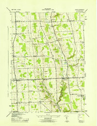
1943 · Genoa
USGS Topo · 1:31,680

1943 · Cayuga
USGS Topo · 1:31,680