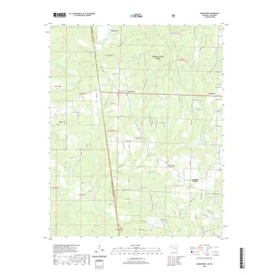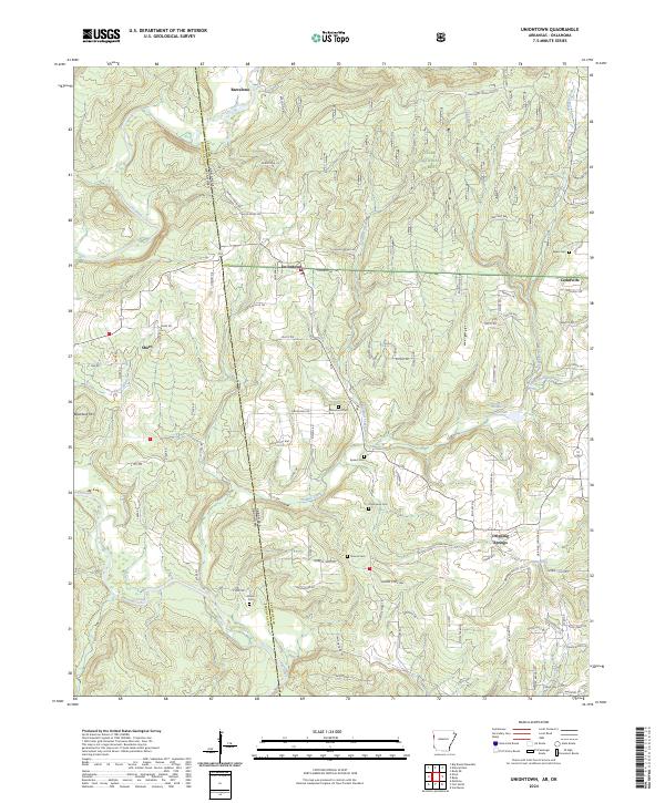
2024 Map of Uniontown
USGS Topo · Published 2024About this map
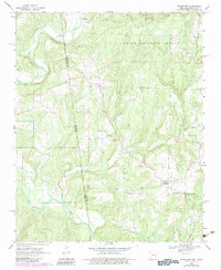
The Oklahoma-Arkansas border defines the western edge of this landscape, where the rugged topography of the Ozark National Forest meets the scattered homesteads of Crawford County. Small settlements such as Uniontown, Barcelona, and Dripping Springs are connected by a network of rural roads that navigate the complex drainage patterns of Lee Creek and Webber Creek. The area is characterized by a significant concentration of historical burial grounds, including Salem Cem, Macedonia Cem, and the Allison Cem, which serve as vital markers for genealogical research in this borderland region.
Find a feature on this map
95 named features on this map. Tap any name to fly to it.
Don’t see what you’re looking for? This feature index may not catch every label — zoom into the map to look around manually.
Map Details
Editions of this 2024 Uniontown Map
This is the sole edition of this map. No revisions or reprints were ever made.
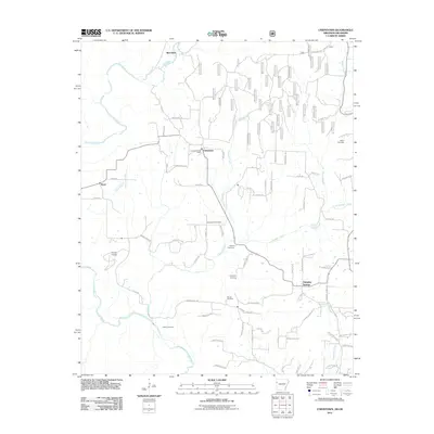
Historical Maps of Cedarville Through Time
6 maps found