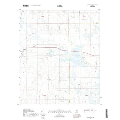
2020 Map of Uniontown East
USGS Topo · Published 2020About this map
The eastern periphery of Uniontown and the small communities of Hillcrest and Tayloe define this section of the Black Belt. The landscape is marked by a high density of rural burial grounds, including Pickens Cem, Ellawhite Cem, Asbury Cem, and Living Hope Cem, which serve as vital markers for local genealogical research. The terrain is structured by a network of creeks such as Tayloe Cr, Coffee Cr, and Chilatchee Cr, which drain the low-lying agricultural lands of the Perry and Dallas County border.
Find a feature on this map
44 named features on this map. Tap any name to fly to it.
Don’t see what you’re looking for? This feature index may not catch every label — zoom into the map to look around manually.
Map Details
Editions of this 2020 Uniontown East Map
This is the sole edition of this map. No revisions or reprints were ever made.
Other maps of this area

1953 · Montgomery
USGS Topo · 1:250,000

1956 · Montgomery
USGS Topo · 1:250,000

1957 · Montgomery
USGS Topo · 1:250,000

1968 · Thomaston East
USGS Topo · 1:24,000

1968 · Uniontown West
USGS Topo · 1:24,000

1968 · Uniontown East
USGS Topo · 1:24,000

1968 · Browns
USGS Topo · 1:24,000

1968 · Safford
USGS Topo · 1:24,000

1968 · Central Mills
USGS Topo · 1:24,000

1979 · Scott Station
USGS Topo · 1:24,000