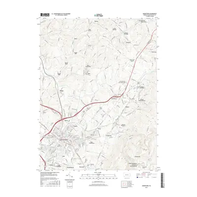
2016 Map of Uniontown
USGS Topo · Published 2016About this map
Uniontown serves as the focal point of this Fayette County survey, where the historic National Pike intersects with a landscape defined by coal heritage and industrial expansion. The map detail highlights the density of the area's spiritual and civic life, from the Saint Mary's Nativity Cem to the sprawling grounds of Sylvan Heights Memorial Gardens. To the southeast, the terrain rises toward the ridge, encompassing the Fort Necessity National Battlefield and the prominent Jumonville Rocks, offering a clear view of the geographic barriers that shaped early American military movements.
Find a feature on this map
229 named features on this map. Tap any name to fly to it.
Don’t see what you’re looking for? This feature index may not catch every label — zoom into the map to look around manually.
Map Details
Editions of this 2016 Uniontown Map
This is the sole edition of this map. No revisions or reprints were ever made.
Other maps of this area

1900 · Uniontown
USGS Topo · 1:62,500

1900 · Masontown
USGS Topo · 1:62,500

1902 · Brownsville
USGS Topo · 1:62,500

1902 · Connellsville
USGS Topo · 1:62,500

1903 · Masontown
USGS Topo · 1:62,500

1906 · Brownsville
USGS Topo · 1:62,500

1931 · Brownsville
USGS Topo · 1:62,500

1931 · Connellsville
USGS Topo · 1:62,500

1931 · Uniontown
USGS Topo · 1:62,500

1931 · Masontown
USGS Topo · 1:62,500
Featured Places
- Uniontown, PA
- North Union Township, PA
- Dunbar Township, PA
- Menallen Township, PA
- South Union Township, PA