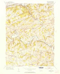
1953 Map of Unionville
USGS Topo · Published 1954About this map
East Branch Brandywine Creek and its west fork wind through the heart of Chester County in the early 1950s, defining a landscape of rolling hills and institutional landmarks. Large facilities such as the Embreeville State Hospital and the Pocopson Home dominate their respective sections of the valley, while smaller village centers like Marshallton and Unionville maintain their traditional footprints. The proximity of Saverys Mill and numerous small burial grounds like St Joseph Cem speaks to the long-standing agricultural and industrial heritage along these waterways.
Find a feature on this map
56 named features on this map. Tap any name to fly to it.
Don’t see what you’re looking for? This feature index may not catch every label — zoom into the map to look around manually.
Map Details
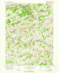
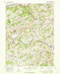
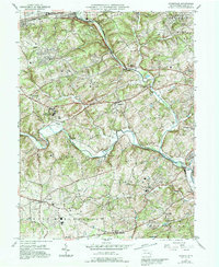
Editions of this 1953 Unionville Map
4 editions found
Other maps of this area

1901 · West Chester
USGS Topo · 1:62,500

1904 · West Chester
USGS Topo · 1:62,500

1904 · Coatesville
USGS Topo · 1:62,500

1905 · Honey Brook
USGS Topo · 1:62,500

1906 · Phoenixville
USGS Topo · 1:62,500

1906 · Coatesville
USGS Topo · 1:62,500

1907 · Honeybrook
USGS Topo · 1:62,500

1918 · Coatesville
USGS Topo · 1:62,500

1941 · Honeybrook
USGS Topo · 1:62,500

1943 · Coatesville
USGS Topo · 1:62,500
Featured Places
- West Goshen Township, PA
- Caln Township, PA
- Birmingham Township, PA
- Pocopson Township, PA
- Unionville, East Marlborough Township