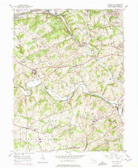
1953 Map of Unionville
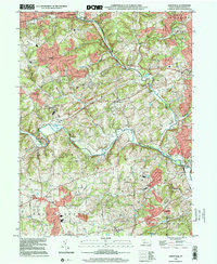
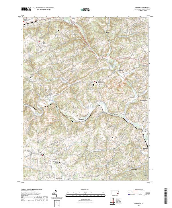
USGS Topo · Published 1992About this map
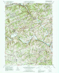
The winding courses of the East Branch Brandywine Creek and West Branch Brandywine Creek dominate this corner of Chester County, defining a landscape of deep valleys and historical settlements. Significant institutional presence is marked by the sprawling Embreeville State Hospital and a nearby County Prison, indicating the mid-century land use patterns of the region. The map captures the meeting of rural agricultural life and early industrial leftovers, evidenced by Savery's Mill on Bennetts Run and the proximity of the Reading railroad line in the north.
Find a feature on this map
62 named features on this map. Tap any name to fly to it.
Don’t see what you’re looking for? This feature index may not catch every label — zoom into the map to look around manually.
Map Details
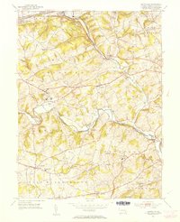
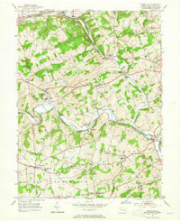
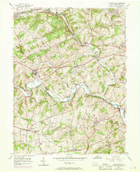
Editions of this 1953 Unionville Map
4 editions found
Historical Maps of West Goshen Township Through Time
4 maps found
Featured Locations
- Pocopson Township, PA
- West Goshen Township, PA
- Birmingham Township, PA
- Caln Township, PA
- Unionville, East Marlborough Township