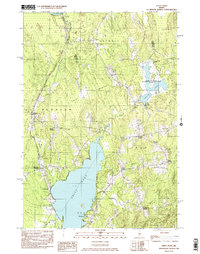
1982 Map of Unity Pond
USGS Topo · Published 1983About this map
Unity Pond dominates the southern landscape of this central Maine region, serving as a focal point for the surrounding rural communities of Unity, Troy, and Burnham. The settlement pattern is defined by numerous family-named crossroads, such as Twitchell Corner, Dodge Corner, and Smarts Corner, which suggest a long-established network of agricultural homesteads and local commerce. In the north, the Sabasticook River flows through Detroit, while the Carlton Pond Waterfowl Production Area indicates a shift toward conservation and habitat management in the late 20th century. The terrain is a complex of wetlands and low hills like Beech Hill, with drainage provided by Carlton Stream and Bithers Brook. Small-scale industry is evidenced by several Gravel Pits and a Quarry, supporting the local infrastructure alongside recreational sites like the Golf Course and Picnic Area near Oakwood.
Find a feature on this map
41 named features on this map. Tap any name to fly to it.
Don’t see what you’re looking for? This feature index may not catch every label — zoom into the map to look around manually.
Map Details
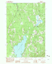
Editions of this 1982 Unity Pond Map
2 editions found
Other maps of this area

1926 · Burnham
USGS Topo · 1:62,500

1930 · Pittsfield
USGS Topo · 1:48,000

1931 · Stetson
USGS Topo · 1:48,000

1932 · Brooks
USGS Topo · 1:62,500

1932 · Pittsfield
USGS Topo · 1:62,500

1933 · Pittsfield
USGS Topo · 1:62,500

1935 · Stetson
USGS Topo · 1:62,500

1948 · Bangor
USGS Topo · 1:250,000

1955 · Pittsfield
USGS Topo · 1:62,500

1955 · Brooks
USGS Topo · 1:62,500