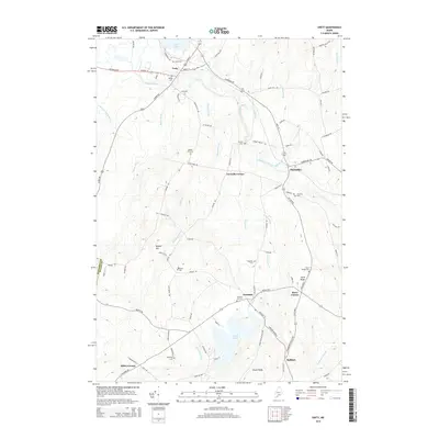
2014 Map of Unity
USGS Topo · Published 2014About this map
Unity and the surrounding Waldo County landscape are defined by a network of small settlements and educational institutions in this 2014 survey. The campus of Unity Coll sits just south of the town center, while a dense collection of burial grounds such as Pond Cem, Village Cem, and Quaker Hill Cem provide essential data for genealogical research. The terrain is marked by significant water features including the expansive Unity Pond in the north and Sandy Pond to the south, connected by the winding course of Sandy Stream.
Find a feature on this map
99 named features on this map. Tap any name to fly to it.
Don’t see what you’re looking for? This feature index may not catch every label — zoom into the map to look around manually.
Map Details
Editions of this 2014 Unity Map
This is the sole edition of this map. No revisions or reprints were ever made.
Other maps of this area

1915 · Belfast
USGS Topo · 1:62,500

1916 · Liberty
USGS Topo · 1:62,500

1917 · Belfast
USGS Topo · 1:62,500

1926 · Burnham
USGS Topo · 1:62,500

1932 · Brooks
USGS Topo · 1:62,500

1941 · Belfast
USGS Topo · 1:62,500

1942 · Liberty
USGS Topo · 1:62,500

1948 · Bangor
USGS Topo · 1:250,000

1950 · Belfast
USGS Topo · 1:50,000

1950 · Liberty
USGS Topo · 1:50,000