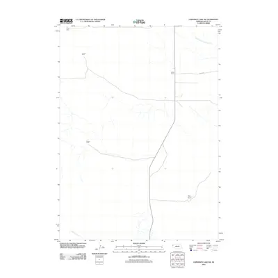
2011 Map of University Lake NW
USGS Topo · Published 2011About this map
Large cattle operations define the landscape of Sioux County, Nebraska, in this 2011 survey. The high plains terrain is marked by established properties such as the Star-D Ranch in the northwest and the Spear-Diamond Ranch to the southeast. These holdings are linked by a sparse network of roads, including Watson Rd, which serves the Watson Ranch. The drainage pattern is defined by the South Branch Snake Creek and Spottedtail Creek, which provide essential water sources in this arid ranching environment. For researchers and genealogists, the map provides a clear record of family-named landmarks like the Johnson Ranch and Murphy Ranch, illustrating the continued importance of historic ranching boundaries and names in the 21st century.
Find a feature on this map
8 named features on this map. Tap any name to fly to it.
Don’t see what you’re looking for? This feature index may not catch every label — zoom into the map to look around manually.
Map Details
Editions of this 2011 University Lake NW Map
This is the sole edition of this map. No revisions or reprints were ever made.
Other maps of this area

1899 · Whistle Creek
USGS Topo · 1:125,000

1955 · Alliance
USGS Topo · 1:250,000

1957 · Alliance
USGS Topo · 1:250,000

1958 · Alliance
USGS Topo · 1:250,000
1963 · Erdman Ranch
USGS Topo · 1:24,000
1963 · University Lake
USGS Topo · 1:24,000

1979 · Mount Edna
USGS Topo · 1:24,000
1983 · University Lake SE
USGS Topo · 1:24,000
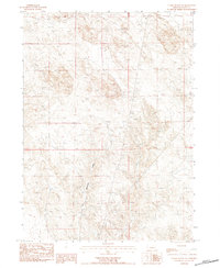
1983 · Chalk Buttes NE
USGS Topo · 1:24,000
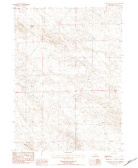
1983 · University Lake NW
USGS Topo · 1:24,000