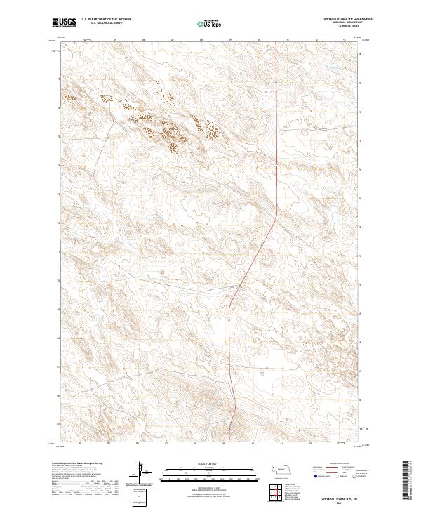
2021 Map of University Lake NW
USGS Topo · Published 2021About this map
The northern reaches of the Nebraska Sandhills dominate this portion of Sioux County, where the landscape is defined by the headwaters of regional drainages. In the northeast, S Br Snake Cr begins its course through the high plains, while the southwestern corner is marked by the winding path of Spottedtail Cr. The area is sparsely populated, with Watson Rd providing one of the few managed transportation routes across the section lines of Townships 25 and 26 North. The map reveals the intricate Public Land Survey System grid, illustrating how late-era rural development in this part of the state remains tethered to the original township and range divisions established during western expansion.
Find a feature on this map
7 named features on this map. Tap any name to fly to it.
Don’t see what you’re looking for? This feature index may not catch every label — zoom into the map to look around manually.
Map Details
Editions of this 2021 University Lake NW Map
This is the sole edition of this map. No revisions or reprints were ever made.
Other maps of this area

1899 · Whistle Creek
USGS Topo · 1:125,000

1955 · Alliance
USGS Topo · 1:250,000

1957 · Alliance
USGS Topo · 1:250,000

1958 · Alliance
USGS Topo · 1:250,000
1963 · Erdman Ranch
USGS Topo · 1:24,000
1963 · University Lake
USGS Topo · 1:24,000

1979 · Mount Edna
USGS Topo · 1:24,000
1983 · University Lake SE
USGS Topo · 1:24,000
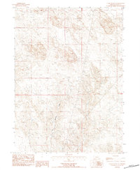
1983 · Chalk Buttes NE
USGS Topo · 1:24,000
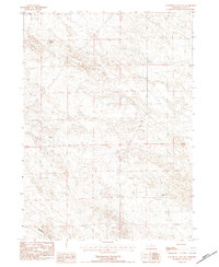
1983 · University Lake NW
USGS Topo · 1:24,000