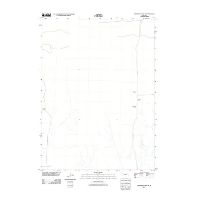
2011 Map of University Lake SE
USGS Topo · Published 2011About this map
Prickett Ranch and the Applegate Ranch complex anchor this Nebraska landscape, illustrating the enduring cattle and agricultural traditions in the western panhandle. The topography is defined by the headwaters and drainage of Winters Creek, which flows southeast across a terrain marked by a grid of rural thoroughfares. These roads, including the descriptively named Sugar Factory Rd and Ore Rd, suggest a local economy tied to the transport of crops and minerals from the surrounding plains. The layout of the E Applegate Ranch and its neighboring homesteads provides a clear record of land use and family holdings at the beginning of the 21st century. This survey preserves the exact placement of private ranch landmarks and the secondary road network, such as Henderson Rd and Jenkins Rd, that facilitates movement between these large prairie properties.
Find a feature on this map
10 named features on this map. Tap any name to fly to it.
Don’t see what you’re looking for? This feature index may not catch every label — zoom into the map to look around manually.
Map Details
Editions of this 2011 University Lake SE Map
This is the sole edition of this map. No revisions or reprints were ever made.
Other maps of this area

1898 · Scotts Bluff
USGS Topo · 1:125,000

1898 · Camp Clarke
USGS Topo · 1:125,000

1899 · Whistle Creek
USGS Topo · 1:125,000

1951 · Kilpatrick Lake
USGS Topo · 1:62,500

1954 · Scottsbluff
USGS Topo · 1:250,000

1955 · Alliance
USGS Topo · 1:250,000

1957 · Alliance
USGS Topo · 1:250,000

1958 · Alliance
USGS Topo · 1:250,000

1958 · Scottsbluff
USGS Topo · 1:250,000

1963 · Scottsbluff North
USGS Topo · 1:24,000