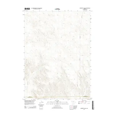
2014 Map of University Lake SE
USGS Topo · Published 2014About this map
Winters Cr winds through the southeastern corner of this landscape, marking a rare drainage point in a terrain defined by high Nebraska plains. The map records the interface between Sioux County and Scotts Bluff County, where the geometric precision of the section lines is mirrored by a network of local roads. While much of the area remains open and undeveloped, the names of thoroughfares like Sugar Factory Rd and Ore Rd hint at the agricultural and industrial infrastructure of the surrounding region. The presence of routes such as Henderson Rd and Co Road 29 provides a clear view of how rural access was structured in the early 21st century, offering researchers a detailed look at property access and land divisions before further modern changes occurred.
Find a feature on this map
8 named features on this map. Tap any name to fly to it.
Don’t see what you’re looking for? This feature index may not catch every label — zoom into the map to look around manually.
Map Details
Editions of this 2014 University Lake SE Map
This is the sole edition of this map. No revisions or reprints were ever made.
Other maps of this area
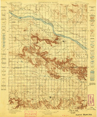
1898 · Scotts Bluff
USGS Topo · 1:125,000
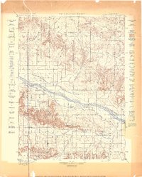
1898 · Camp Clarke
USGS Topo · 1:125,000
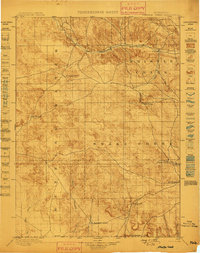
1899 · Whistle Creek
USGS Topo · 1:125,000
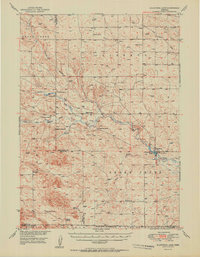
1951 · Kilpatrick Lake
USGS Topo · 1:62,500

1954 · Scottsbluff
USGS Topo · 1:250,000

1955 · Alliance
USGS Topo · 1:250,000

1957 · Alliance
USGS Topo · 1:250,000

1958 · Alliance
USGS Topo · 1:250,000

1958 · Scottsbluff
USGS Topo · 1:250,000
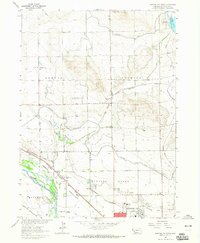
1963 · Scottsbluff North
USGS Topo · 1:24,000