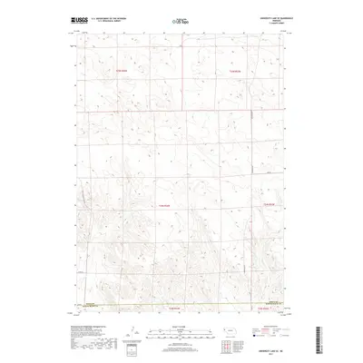
2017 Map of University Lake SE
USGS Topo · Published 2017About this map
Winters Cr meanders through the eastern section of this high plains landscape, defining the local hydrology in a region characterized by section-line roads and open agricultural terrain. This 2017 survey details the borderlands where Sioux Co meets Scotts Bluff Co, illustrating a rural infrastructure designed for industrial-scale ranching and farming. Named thoroughfares like Sugar Factory Rd hint at the regional connection to the sugar beet industry common in the Nebraska Panhandle, while Ore Rd suggests the historical movement of mineral resources across the township grids. The map provides a clear look at the intersection of Henderson Rd and various county routes, such as Co Rd SB and Co Rd A, which anchor the sparsely settled townships of T25N R54W and T24N R53W.
Find a feature on this map
15 named features on this map. Tap any name to fly to it.
Don’t see what you’re looking for? This feature index may not catch every label — zoom into the map to look around manually.
Map Details
Editions of this 2017 University Lake SE Map
This is the sole edition of this map. No revisions or reprints were ever made.
Other maps of this area
1898 · Scotts Bluff
USGS Topo · 1:125,000
1898 · Camp Clarke
USGS Topo · 1:125,000
1899 · Whistle Creek
USGS Topo · 1:125,000
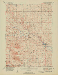
1951 · Kilpatrick Lake
USGS Topo · 1:62,500

1954 · Scottsbluff
USGS Topo · 1:250,000

1955 · Alliance
USGS Topo · 1:250,000

1957 · Alliance
USGS Topo · 1:250,000

1958 · Alliance
USGS Topo · 1:250,000

1958 · Scottsbluff
USGS Topo · 1:250,000
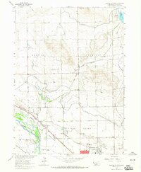
1963 · Scottsbluff North
USGS Topo · 1:24,000