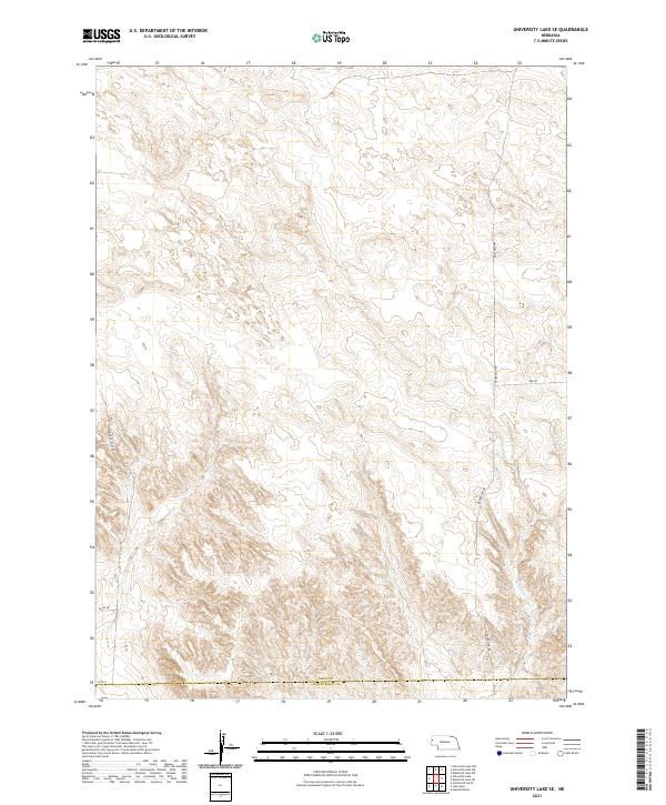
2021 Map of University Lake SE
USGS Topo · Published 2021About this map
Winters Cr winds through this section of the High Plains, carving a path through the subtle topography of the Sioux Co Scotts Bluff Co border. The landscape is defined by a sparse but structured network of section roads that reflect the region's agricultural and industrial heritage. Of particular interest to local historians is Sugar Factory Rd, which hints at the regional importance of the beet sugar industry, while Ore Rd suggests the historical movement of mineral resources across this terrain. The grid of county routes, including Co Rd 58 and Co Rd A, provides a clear view of how land was partitioned and accessed in the early twenty-first century. This survey preserves the exact alignment of these routes and the seasonal flow of local waterways before any modern modifications.
Find a feature on this map
14 named features on this map. Tap any name to fly to it.
Don’t see what you’re looking for? This feature index may not catch every label — zoom into the map to look around manually.
Map Details
Editions of this 2021 University Lake SE Map
This is the sole edition of this map. No revisions or reprints were ever made.
Other maps of this area

1898 · Scotts Bluff
USGS Topo · 1:125,000

1898 · Camp Clarke
USGS Topo · 1:125,000

1899 · Whistle Creek
USGS Topo · 1:125,000

1951 · Kilpatrick Lake
USGS Topo · 1:62,500

1954 · Scottsbluff
USGS Topo · 1:250,000

1955 · Alliance
USGS Topo · 1:250,000

1957 · Alliance
USGS Topo · 1:250,000

1958 · Alliance
USGS Topo · 1:250,000

1958 · Scottsbluff
USGS Topo · 1:250,000

1963 · Scottsbluff North
USGS Topo · 1:24,000