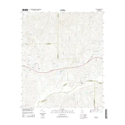
2014 Map of Upatoi
USGS Topo · Published 2014About this map
Upatoi and Box Springs anchor this portion of the Georgia Piedmont, situated where the borders of Muscogee, Talbot, Harris, Marion, and Chattahoochee counties converge. The landscape is defined by a dense network of watercourses, most notably Upatoi Creek and its many tributaries including Randall Cr, Kendall Cr, and the Tar River. While the terrain is predominantly rural, the presence of several established burial grounds such as Phillips Cem, Liberty Hill Cem, and Hollis Cem provides critical points of reference for local family history. Small impoundments and lakes, including Cox Lake, McClure Lake, and Kings Millpond, are scattered throughout the region, reflecting the local management of the many creeks and branches. Modern transportation follows established routes like Macon Rd, which cuts through the center of the survey area, connecting the small communities and rural homesteads that have long characterized this part of the state.
Find a feature on this map
80 named features on this map. Tap any name to fly to it.
Don’t see what you’re looking for? This feature index may not catch every label — zoom into the map to look around manually.
Map Details
Editions of this 2014 Upatoi Map
This is the sole edition of this map. No revisions or reprints were ever made.
Other maps of this area

1907 · Talbotton
USGS Topo · 1:125,000

1908 · Columbus
USGS Topo · 1:62,500

1929 · Columbus
USGS Topo · 1:48,000

1947 · Columbus
USGS Topo · 1:62,500

1949 · Midland
USGS Topo · 1:24,000

1949 · Upatoi
USGS Topo · 1:24,000

1949 · Ochillee
USGS Topo · 1:24,000

1949 · Buena Vista NW
USGS Topo · 1:24,000

1950 · Talbotton
USGS Topo · 1:24,000

1950 · Geneva
USGS Topo · 1:24,000