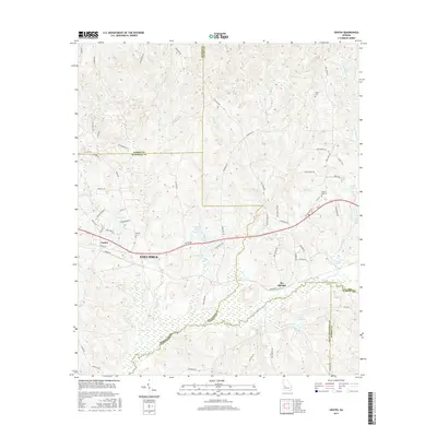
2017 Map of Upatoi
USGS Topo · Published 2017About this map
Columbus and the community of Upatoi sit at the western edge of this landscape, where the Upatoi Cr meanders eastward to form a natural boundary between Muscogee and Chattahoochee counties. The terrain is defined by a dense network of tributaries including Kendall Cr, Riley Br, and Baker Cr, which feed into several local water bodies like McClure Lake and Montarella Lake. Further east, the settlement of Box Springs serves as a local crossroads near the Talbot County line.
Find a feature on this map
73 named features on this map. Tap any name to fly to it.
Don’t see what you’re looking for? This feature index may not catch every label — zoom into the map to look around manually.
Map Details
Editions of this 2017 Upatoi Map
This is the sole edition of this map. No revisions or reprints were ever made.
Other maps of this area

1907 · Talbotton
USGS Topo · 1:125,000

1908 · Columbus
USGS Topo · 1:62,500

1929 · Columbus
USGS Topo · 1:48,000

1947 · Columbus
USGS Topo · 1:62,500

1949 · Midland
USGS Topo · 1:24,000

1949 · Upatoi
USGS Topo · 1:24,000

1949 · Ochillee
USGS Topo · 1:24,000

1949 · Buena Vista NW
USGS Topo · 1:24,000

1950 · Talbotton
USGS Topo · 1:24,000

1950 · Geneva
USGS Topo · 1:24,000