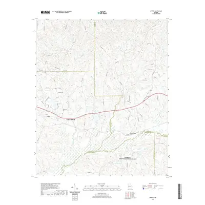
2020 Map of Upatoi
USGS Topo · Published 2020About this map
The eastern edges of Columbus meet the rural expanses of Muscogee, Talbot, and Chattahoochee counties in this detailed topographic record. The settlement of Upatoi serves as a primary hub, while Box Springs sits further east along the boundary line. This landscape is defined by its intricate drainage networks, with Upatoi Creek winding through the southern reaches, fed by tributaries like Kings Mill Cr and Little Juniper Cr. Smaller water bodies and family-named landmarks such as Kings Millpond and Mobleys Pond suggest a history of local agricultural and milling activity.
Find a feature on this map
73 named features on this map. Tap any name to fly to it.
Don’t see what you’re looking for? This feature index may not catch every label — zoom into the map to look around manually.
Map Details
Editions of this 2020 Upatoi Map
This is the sole edition of this map. No revisions or reprints were ever made.
Other maps of this area

1907 · Talbotton
USGS Topo · 1:125,000

1908 · Columbus
USGS Topo · 1:62,500

1929 · Columbus
USGS Topo · 1:48,000

1947 · Columbus
USGS Topo · 1:62,500

1949 · Midland
USGS Topo · 1:24,000

1949 · Upatoi
USGS Topo · 1:24,000

1949 · Ochillee
USGS Topo · 1:24,000

1949 · Buena Vista NW
USGS Topo · 1:24,000

1950 · Talbotton
USGS Topo · 1:24,000

1950 · Geneva
USGS Topo · 1:24,000