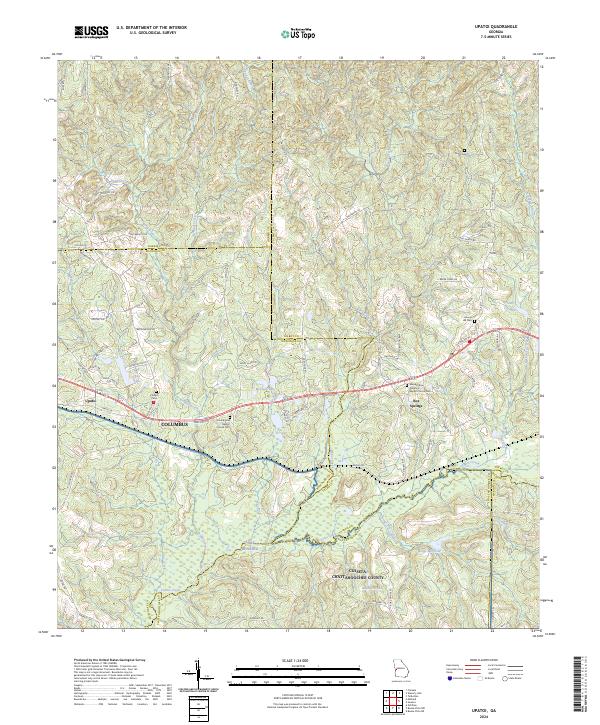
2024 Map of Upatoi
USGS Topo · Published 2024About this map
Upatoi Creek and its many tributaries carve a dense network of ridges and drainages across this landscape east of Columbus. The terrain is defined by its rural transition between several county lines, including Talbot, Muscogee, and Chattahoochee. The settlement at Box Springs sits at a crossroads near the center of the sheet, while the northeastern portion of Fort Benning occupies the southern reaches. Numerous small water bodies like McClune Lake, Kings Millpond, and Cox Lake suggest a long history of local water management for mill operations or private recreation.
Find a feature on this map
85 named features on this map. Tap any name to fly to it.
Don’t see what you’re looking for? This feature index may not catch every label — zoom into the map to look around manually.
Map Details
Editions of this 2024 Upatoi Map
This is the sole edition of this map. No revisions or reprints were ever made.
Other maps of this area

1907 · Talbotton
USGS Topo · 1:125,000

1908 · Columbus
USGS Topo · 1:62,500

1929 · Columbus
USGS Topo · 1:48,000

1947 · Columbus
USGS Topo · 1:62,500

1949 · Midland
USGS Topo · 1:24,000

1949 · Upatoi
USGS Topo · 1:24,000

1949 · Ochillee
USGS Topo · 1:24,000

1949 · Buena Vista NW
USGS Topo · 1:24,000

1950 · Talbotton
USGS Topo · 1:24,000

1950 · Geneva
USGS Topo · 1:24,000