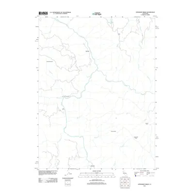
2012 Map of Updegraff Ridge
USGS Topo · Published 2012About this map
The Eel River and its major tributary, the N Fork Eel River, dictate the rugged geography of this northern California landscape. Long established ranching properties like Island Mountain Ranch and Big Bend Ranch occupy the plateaus and slopes above the river canyons, reflecting a rural economy tied to the land. The small settlements of Ramsey and Island Mountain are positioned along the winding river corridor, while Spyrock marks a point of interest further south.
Find a feature on this map
23 named features on this map. Tap any name to fly to it.
Don’t see what you’re looking for? This feature index may not catch every label — zoom into the map to look around manually.
Map Details
Editions of this 2012 Updegraff Ridge Map
This is the sole edition of this map. No revisions or reprints were ever made.
Other maps of this area

1920 · Cummings
USGS Topo · 1:62,500

1920 · Covelo
USGS Topo · 1:62,500

1920 · Harris
USGS Topo · 1:62,500

1921 · Hoaglin
USGS Topo · 1:62,500

1922 · Island Mountain
USGS Topo · 1:62,500

1931 · Hoaglin
USGS Topo · 1:96,000

1935 · Hoaglin
USGS Topo · 1:125,000

1949 · Alderpoint
USGS Topo · 1:62,500

1951 · Alderpoint
USGS Topo · 1:62,500

1952 · Spyrock
USGS Topo · 1:62,500