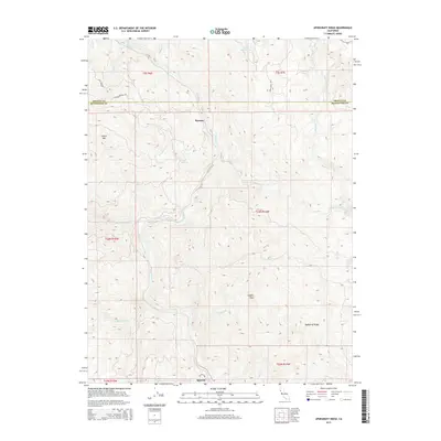
2015 Map of Updegraff Ridge
USGS Topo · Published 2015About this map
The Eel River and its tributary, the North Fork Eel River, carve through the complex topography of Mendocino County and Trinity County. Small settlements such as Ramsey and Spyrock mark the limited human footprint in this mountainous region, where primary access is provided by unpaved corridors like Spyrock Rd and Island Mountain Rd. The terrain is defined by prominent elevations including Island Mtn and the namesake Updegraff Ridge, which overlook a network of seasonal and perennial streams.
Find a feature on this map
29 named features on this map. Tap any name to fly to it.
Don’t see what you’re looking for? This feature index may not catch every label — zoom into the map to look around manually.
Map Details
Editions of this 2015 Updegraff Ridge Map
This is the sole edition of this map. No revisions or reprints were ever made.
Other maps of this area
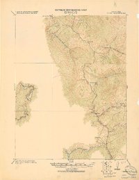
1920 · Cummings
USGS Topo · 1:62,500
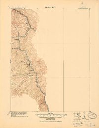
1920 · Covelo
USGS Topo · 1:62,500
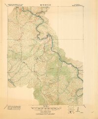
1920 · Harris
USGS Topo · 1:62,500
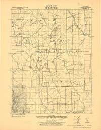
1921 · Hoaglin
USGS Topo · 1:62,500
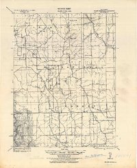
1922 · Island Mountain
USGS Topo · 1:62,500
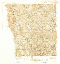
1931 · Hoaglin
USGS Topo · 1:96,000
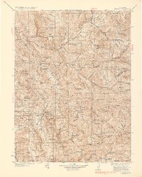
1935 · Hoaglin
USGS Topo · 1:125,000
1949 · Alderpoint
USGS Topo · 1:62,500
1951 · Alderpoint
USGS Topo · 1:62,500
1952 · Spyrock
USGS Topo · 1:62,500