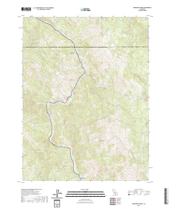
2021 Map of Updegraff Ridge
USGS Topo · Published 2021About this map
The Eel River and its major tributary, the North Fork Eel River, dictate the geography of this remote section of the Mendocino-Trinity county line. These watercourses cut through the steep terrain, joined by numerous drainages such as Bell-Springs Cr, Blue-Rock Cr, and Big-Bend Cr. Settlement is sparse and largely confined to the river corridors and ridgelines, represented by the clusters at Island Mtn, Ramsey, and Spyrock.
Find a feature on this map
27 named features on this map. Tap any name to fly to it.
Don’t see what you’re looking for? This feature index may not catch every label — zoom into the map to look around manually.
Map Details
Editions of this 2021 Updegraff Ridge Map
This is the sole edition of this map. No revisions or reprints were ever made.
Other maps of this area

1920 · Cummings
USGS Topo · 1:62,500

1920 · Covelo
USGS Topo · 1:62,500

1920 · Harris
USGS Topo · 1:62,500

1921 · Hoaglin
USGS Topo · 1:62,500

1922 · Island Mountain
USGS Topo · 1:62,500

1931 · Hoaglin
USGS Topo · 1:96,000

1935 · Hoaglin
USGS Topo · 1:125,000

1949 · Alderpoint
USGS Topo · 1:62,500

1951 · Alderpoint
USGS Topo · 1:62,500

1952 · Spyrock
USGS Topo · 1:62,500