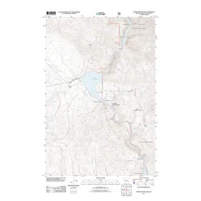
2011 Map of Upper Holter Lake
USGS Topo · Published 2011About this map
Upper Holter Lake and the winding Missouri River define this portion of Lewis and Clark County, where the waterway carves through steep canyons and gulches. The landscape reflects a legacy of ranching and early settlement, anchored by the Hilger Ranch and the historic Old Weiss and French Place. These sites, situated near Hilger Valley and Spring Gulch, point to the importance of water access and sheltered valleys for homesteading in the Montana interior.
Find a feature on this map
39 named features on this map. Tap any name to fly to it.
Don’t see what you’re looking for? This feature index may not catch every label — zoom into the map to look around manually.
Map Details
Editions of this 2011 Upper Holter Lake Map
This is the sole edition of this map. No revisions or reprints were ever made.
Other maps of this area

1886 · Fort Logan
USGS Topo · 1:250,000

1889 · Helena
USGS Topo · 1:250,000

1893 · Helena
USGS Topo · 1:250,000

1899 · Helena
USGS Topo · 1:62,500

1899 · Helena
USGS Topo · 1:250,000

1903 · Helena
USGS Topo · 1:250,000

1947 · Butte
USGS Topo · 1:250,000

1948 · White Sulphur Springs
USGS Topo · 1:250,000

1950 · East Helena
USGS Topo · 1:62,500

1950 · Helena
USGS Topo · 1:62,500