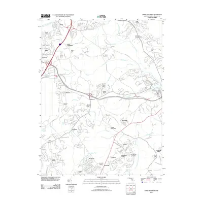
2011 Map of Upper Marlboro
USGS Topo · Published 2011About this map
Upper Marlboro serves as the focal point of this Prince George's County survey, illustrating the modern development of suburban Maryland east of Washington D.C. The landscape is defined by the winding course of the Western Branch Patuxent River and its numerous tributaries, including Federal Spring Branch and Cabin Branch. A significant local landmark, the University of Maryland Tobacco Experiment Farm, represents the region's agricultural roots amidst contemporary residential expansion in communities like Greenwood Manor, Mellwood, and Brock Hall. Local historians and genealogists will find an unusually high density of burial grounds throughout the area, from the Resurrection Cemetery in the south to Beanes Cemetery and Mount Carmel Cemetery near the town center. The network of corridors such as Pennsylvania Ave and Marlboro Pike connects these growing settlements, while Schoolhouse Pond remains a prominent water feature in the heart of the county seat.
Find a feature on this map
64 named features on this map. Tap any name to fly to it.
Don’t see what you’re looking for? This feature index may not catch every label — zoom into the map to look around manually.
Map Details
Editions of this 2011 Upper Marlboro Map
This is the sole edition of this map. No revisions or reprints were ever made.
Other maps of this area

1892 · Prince Frederick
USGS Topo · 1:62,500

1892 · Brandywine
USGS Topo · 1:62,500

1892 · Owensville
USGS Topo · 1:62,500

1895 · Prince Frederick
USGS Topo · 1:62,500

1895 · Brandywine
USGS Topo · 1:62,500

1895 · Owensville
USGS Topo · 1:62,500

1899 · Patuxent
USGS Topo · 1:125,000

1900 · Washington
USGS Topo · 1:62,500

1901 · Prince Frederick
USGS Topo · 1:62,500

1905 · Owensville
USGS Topo · 1:62,500