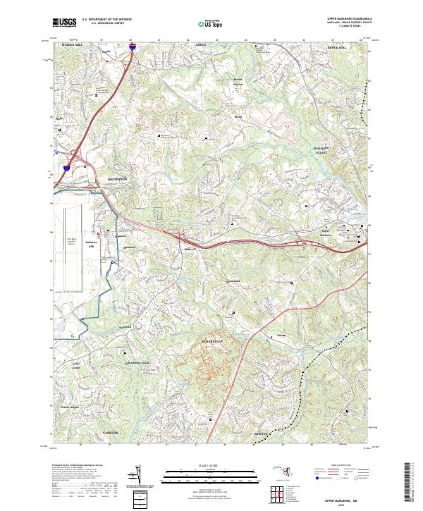
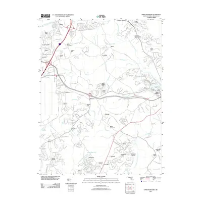
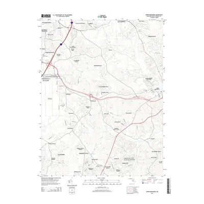
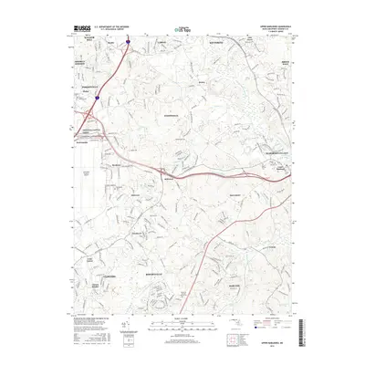
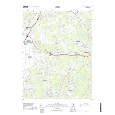
2023 Map of Upper Marlboro
USGS Topo · Published 2023About this map
Joint Base Andrews dominates the western landscape of this Prince George's County survey, establishing a modern industrial and military anchor amidst the region's deep agricultural roots. Further east, the county seat of Upper Marlboro serves as a focal point near the winding Western Branch Patuxent River, surrounded by numerous family homesteads and burial sites. The map is a significant resource for genealogists, documenting historical family plots such as the Magruder McGregor Family Cem, Duvall Family Cem, and Clagett Family Cem.
Find a feature on this map
65 named features on this map. Tap any name to fly to it.
Don’t see what you’re looking for? This feature index may not catch every label — zoom into the map to look around manually.
Map Details
Editions of this 2023 Upper Marlboro Map
This is the sole edition of this map. No revisions or reprints were ever made.
Historical Maps of Forestville Through Time
11 maps found
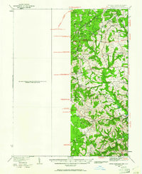
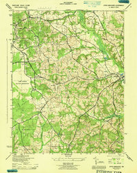
1934 Upper Marlboro
Prince George's County, MD
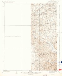
1937 Upper Marlboro
Prince George's County, MD
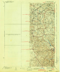
1938 Upper Marlboro
Prince George's County, MD
1944 Upper Marlboro
Prince George's County, MD
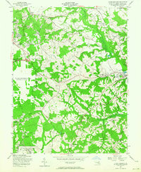
1957 Upper Marlboro
Prince George's County, MD
1965 Upper Marlboro
Prince George's County, MD
2011 Upper Marlboro
Prince George's County, MD
2014 Upper Marlboro
Prince George's County, MD
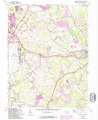
2016 Upper Marlboro
Prince George's County, MD
2019 Upper Marlboro
Prince George's County, MD
2023 Upper Marlboro
Prince George's County, MD