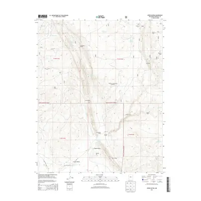
2013 Map of Upper Nutria
USGS Topo · Published 2013About this map
Rio Nutria flows through a landscape defined by significant elevation changes and deep geological formations in this 2013 survey of the Eastern Navajo Agency. The settlements of Upper Nutria and Lower Nutria are positioned near the Nutria Reservoir, where the Nutria Rd and Indian Service Route 26 provide primary access. The terrain is marked by prominent features like The Hogback and Oso Ridge, which rise above the surrounding canyons and draws.
Find a feature on this map
41 named features on this map. Tap any name to fly to it.
Don’t see what you’re looking for? This feature index may not catch every label — zoom into the map to look around manually.
Map Details
Editions of this 2013 Upper Nutria Map
This is the sole edition of this map. No revisions or reprints were ever made.
Other maps of this area
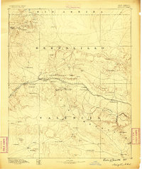
1886 · Wingate
USGS Topo · 1:250,000
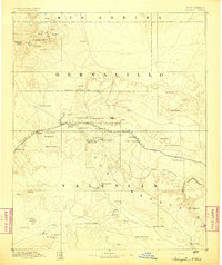
1892 · Wingate
USGS Topo · 1:250,000

1954 · Gallup
USGS Topo · 1:250,000

1958 · Gallup
USGS Topo · 1:250,000

1959 · Gallup
USGS Topo · 1:250,000
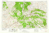
1962 · Gallup
USGS Topo · 1:250,000
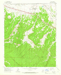
1962 · Ciniza
USGS Topo · 1:24,000
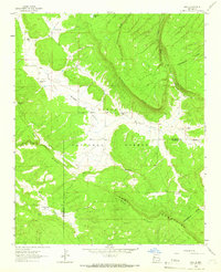
1962 · Page
USGS Topo · 1:24,000
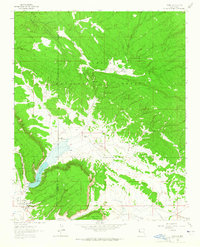
1963 · Ramah
USGS Topo · 1:24,000
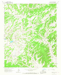
1963 · Pinehaven
USGS Topo · 1:24,000