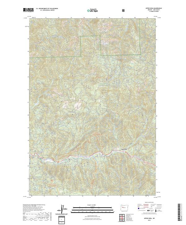
2023 Map of Upper Soda
USGS Topo · Published 2023About this map
The South Santiam River carves a deep path through this portion of the Willamette National Forest, where the small settlement of Upper Soda sits along its banks. This 2023 survey highlights the protected terrain of the Menagerie Wilderness, a landscape dominated by dramatic features like Bloody Point and Moose Mtn. The map preserves the corridor of the Santiam Wagon Road West Trl, a vital link to the region's pioneer transportation history that follows the river's northern slopes. High-elevation water bodies like Gordon Lakes and Moose Lake dot the ridges of the Cascade Range, feeding a complex network of tributaries including the Soda Fork and Trout Creek. These drainages, often accompanied by footpaths such as the Trout Creek Trl, illustrate the transition from valley-floor settlements to the high wilderness peaks of Linn County.
Find a feature on this map
33 named features on this map. Tap any name to fly to it.
Don’t see what you’re looking for? This feature index may not catch every label — zoom into the map to look around manually.
Map Details
Editions of this 2023 Upper Soda Map
This is the sole edition of this map. No revisions or reprints were ever made.
Other maps of this area

1929 · Mill City
USGS Topo · 1:125,000

1934 · Mc Kenzie Bridge
USGS Topo · 1:96,000

1940 · Mc Kenzie Bridge
USGS Topo · 1:125,000

1953 · Salem
USGS Topo · 1:250,000

1954 · Salem
USGS Topo · 1:250,000

1955 · Cascadia
USGS Topo · 1:62,500

1955 · Echo Mountain
USGS Topo · 1:62,500

1956 · Quartzville
USGS Topo · 1:62,500

1956 · Detroit
USGS Topo · 1:62,500

1960 · Salem
USGS Topo · 1:250,000