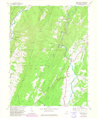
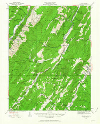
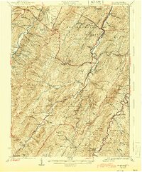
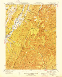
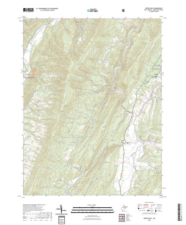
1969 Map of Upper Tract
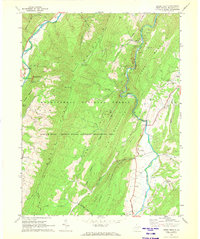
USGS Topo · Published 1982About this map
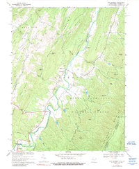
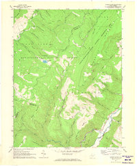
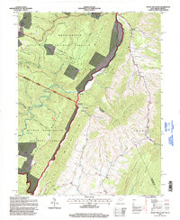
North Fork Mountain and the South Branch Potomac River dominate this West Virginia landscape, which is largely encompassed by the Monongahela National Forest. The map documents a period of transition as the area was designated part of the Spruce Knob Seneca Rocks National Recreation Area. Near the western edge, the settlement of Seneca Rocks is visible, complete with the Seneca Rocks Sch and several cemeteries that speak to the long-standing community ties in this valley. Along the eastern slopes, Upper Tract serves as a small hub where Mill Run joins the river.
Find a feature on this map
38 named features on this map. Tap any name to fly to it.
Don’t see what you’re looking for? This feature index may not catch every label — zoom into the map to look around manually.
Map Details
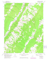
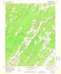
Editions of this 1969 Upper Tract Map
2 editions found
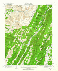
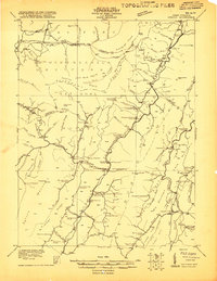
Historical Maps of Upper Tract Through Time
35 maps found
1920 Onego
Pendleton County, WV
1921 Onego
Pendleton County, WV
1922 Circleville
Pendleton County, WV
1922 Fort Seybert
Pendleton County, WV
1922 Onego
Pendleton County, WV
1922 Spruce Knob
Pendleton County, WV
1924 Circleville
Pendleton County, WV
1924 Fort Seybert
Pendleton County, WV
1924 Spruce Knob
Pendleton County, WV
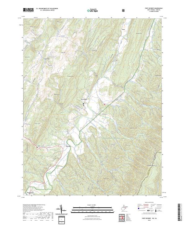
1947 Fort Seybert
Pendleton County, WV
1951 Fort Seybert
Pendleton County, WV
1968 Circleville
Pendleton County, WV
1968 Moatstown
Pendleton County, WV
1968 Onego
Pendleton County, WV
1969 Fort Seybert
Pendleton County, WV
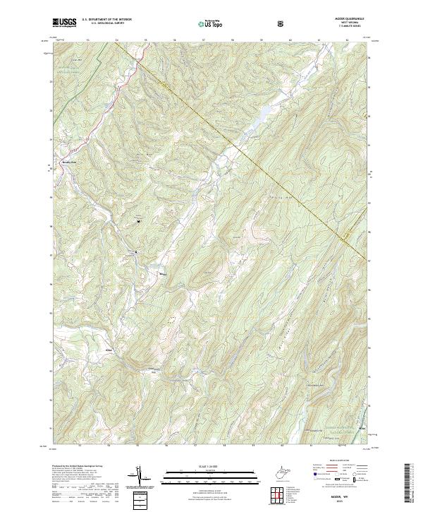
1969 Mozer
Pendleton County, WV
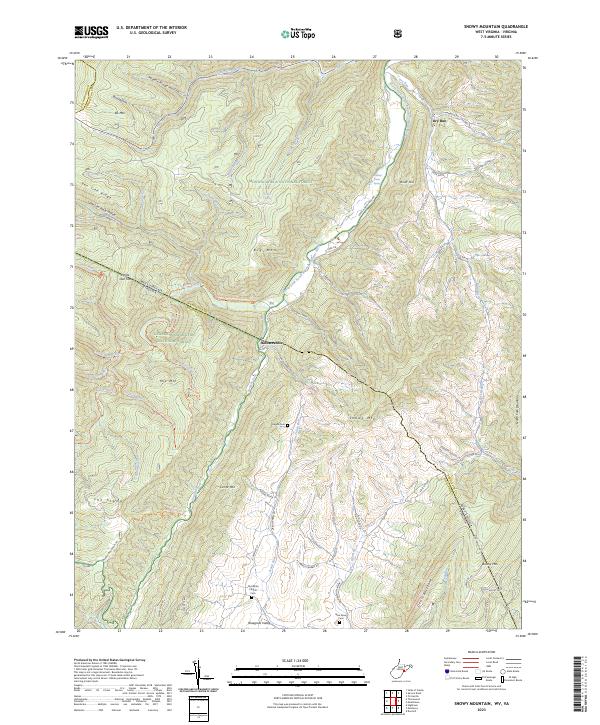
1969 Snowy Mountain
Pendleton County, WV
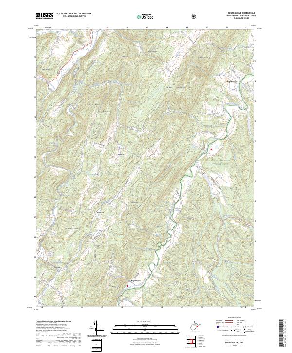
1969 Sugar Grove
Pendleton County, WV
1969 Upper Tract
Pendleton County, WV
1970 Spruce Knob
Pendleton County, WV
1995 Circleville
Pendleton County, WV
1995 Mozer
Pendleton County, WV
1995 Onego
Pendleton County, WV
1995 Snowy Mountain
Pendleton County, WV
1995 Spruce Knob
Pendleton County, WV
1995 Upper Tract
Pendleton County, WV
2023 Circleville
Pendleton County, WV
2023 Fort Seybert
Pendleton County, WV
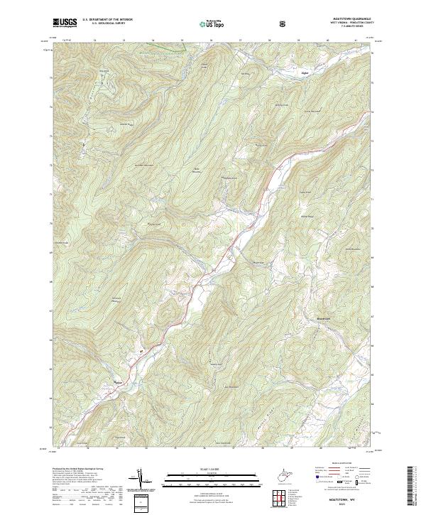
2023 Moatstown
Pendleton County, WV
2023 Mozer
Pendleton County, WV
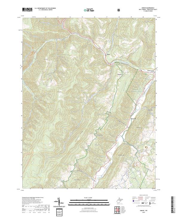
2023 Onego
Pendleton County, WV
2023 Snowy Mountain
Pendleton County, WV
2023 Spruce Knob
Pendleton County, WV
2023 Sugar Grove
Pendleton County, WV
2023 Upper Tract
Pendleton County, WV