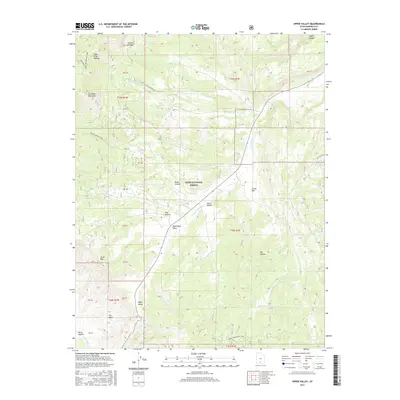
2017 Map of Upper Valley
USGS Topo · Published 2017About this map
Escalante Mountains and the Table Cliff Plateau define the high-elevation landscape of this region within the Dixie National Forest. The map detail follows the drainage systems of the Upper Valley Cr and Henrieville Cr, which carve through varied terrain including Dead Mare Wash and the distinctively named The Blues. Small settlements and seasonal locations like Yankee Meadow and Upper Valley are connected by a network of backcountry routes, including the Allen Canyon Rd and the Great Western ATV Trail.
Find a feature on this map
44 named features on this map. Tap any name to fly to it.
Don’t see what you’re looking for? This feature index may not catch every label — zoom into the map to look around manually.
Map Details
Editions of this 2017 Upper Valley Map
This is the sole edition of this map. No revisions or reprints were ever made.
Other maps of this area
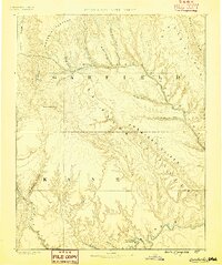
1886 · Escalante
USGS Topo · 1:250,000
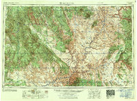
1956 · Escalante
USGS Topo · 1:250,000
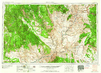
1960 · Escalante
USGS Topo · 1:250,000
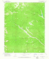
1964 · Griffin Point
USGS Topo · 1:24,000
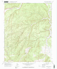
1964 · Canaan Creek
USGS Topo · 1:24,000
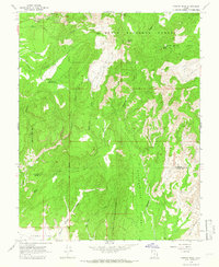
1964 · Canaan Peak
USGS Topo · 1:24,000
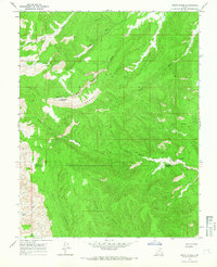
1964 · Death Ridge
USGS Topo · 1:24,000
1964 · Henrieville
USGS Topo · 1:24,000
1964 · Sweetwater Creek
USGS Topo · 1:24,000
1964 · Wide Hollow Reservoir
USGS Topo · 1:24,000