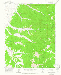
1964 Map of Sweetwater Creek
USGS Topo · Published 1966About this map
Widtsoe stands on the edge of Johns Valley, marking a pocket of settlement near the high plateaus of the Dixie National Forest. This mid-1960s survey illustrates a landscape defined by dramatic vertical relief, where the Escalante Mountains rise toward Griffin Top and Escalante Top. The intricate drainage system is well-documented, showing how Sweetwater Creek and South Creek carve through the terrain, joined by intermittent seasonal features like Dry Hollow and Mud Spring Draw. A small Cem near the northern boundary provides a specific point of interest for genealogists tracing local families. The presence of a Jeep Trail and Pack Trail network suggests a region utilized for ranching and forest management rather than heavy industrial development, centered around natural landmarks such as Horse Lake.
Find a feature on this map
26 named features on this map. Tap any name to fly to it.
Don’t see what you’re looking for? This feature index may not catch every label — zoom into the map to look around manually.
Map Details
Editions of this 1964 Sweetwater Creek Map
This is the sole edition of this map. No revisions or reprints were ever made.
Other maps of this area

1886 · Kanab
USGS Topo · 1:250,000

1886 · Escalante
USGS Topo · 1:250,000

1953 · Cedar City
USGS Topo · 1:250,000

1956 · Escalante
USGS Topo · 1:250,000

1958 · Cedar City
USGS Topo · 1:250,000

1960 · Escalante
USGS Topo · 1:250,000

1962 · Cedar City
USGS Topo · 1:250,000
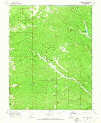
1964 · Griffin Point
USGS Topo · 1:24,000
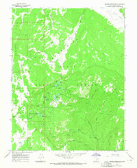
1964 · Barker Reservoir
USGS Topo · 1:24,000
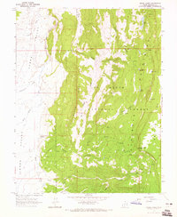
1964 · Grass Lakes
USGS Topo · 1:24,000