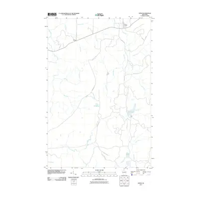
2010 Map of Upson
USGS Topo · Published 2010About this map
The northern Iron County landscape near Upson is defined by a dense network of watercourses and timberland roads. The Potato River and its tributaries, including Apple Creek and Norman Creek, drain the eastern portion of the quadrangle, while the many branches of Tyler Forks dominate the central and southern reaches. Small settlements and specialized outposts like Rouse and McIver Camp are connected by a system of gravel and forest routes, including Casey Sag Rd and Obrien Lake Rd. This area reflects the late twentieth and early twenty-first-century character of northern Wisconsin, where the economy centers on forestry and outdoor recreation. Water bodies like Shirley Lake, O'Brien Lake, and Twin Lakes serve as focal points for local navigation and landmarks for those studying the hydrologic patterns of the region.
Find a feature on this map
28 named features on this map. Tap any name to fly to it.
Don’t see what you’re looking for? This feature index may not catch every label — zoom into the map to look around manually.
Map Details
Editions of this 2010 Upson Map
This is the sole edition of this map. No revisions or reprints were ever made.
Other maps of this area

1940 · Butternut
USGS Topo · 1:48,000

1940 · Upson
USGS Topo · 1:48,000

1942 · Glidden
USGS Topo · 1:48,000

1942 · Mellen
USGS Topo · 1:48,000

1943 · Upson
USGS Topo · 1:48,000

1945 · Glidden
USGS Topo · 1:48,000

1945 · Mellen
USGS Topo · 1:48,000

1947 · Butternut
USGS Topo · 1:48,000

1950 · Butternut
USGS Topo · 1:48,000

1953 · Ashland
USGS Topo · 1:250,000