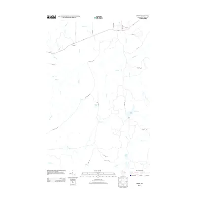
2013 Map of Upson
USGS Topo · Published 2013About this map
Upson and Rouse anchor the northern reaches of this Iron County landscape, where Wisconsin State Route 77 connects small settlements across a complex network of waterways. The Potato River flows through the northeast, while the southern terrain is defined by the headwaters and branches of Tyler Forks and Shine Cr. This 2013 survey illustrates a region largely shaped by its natural topography, with few concentrated residential areas outside of the primary villages. Notable sites like McIver Camp suggest the area's continued use for seasonal or specialized activity. A web of local connectors like Caroline Lake Rd and Shirley Lake Rd provides access to remote water bodies, including O'Brien Lake and Twin Lakes, highlighting the area's character as a northwoods destination for outdoor navigation and remote land management.
Find a feature on this map
34 named features on this map. Tap any name to fly to it.
Don’t see what you’re looking for? This feature index may not catch every label — zoom into the map to look around manually.
Map Details
Editions of this 2013 Upson Map
This is the sole edition of this map. No revisions or reprints were ever made.
Other maps of this area
1940 · Butternut
USGS Topo · 1:48,000
1940 · Upson
USGS Topo · 1:48,000
1942 · Glidden
USGS Topo · 1:48,000
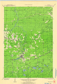
1942 · Mellen
USGS Topo · 1:48,000
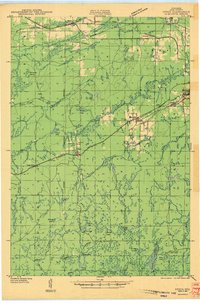
1943 · Upson
USGS Topo · 1:48,000
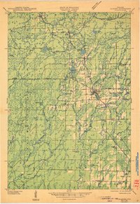
1945 · Glidden
USGS Topo · 1:48,000
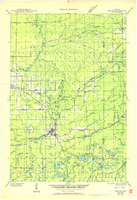
1945 · Mellen
USGS Topo · 1:48,000
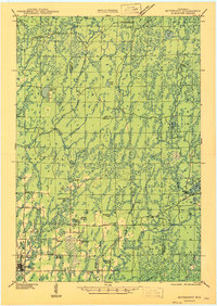
1947 · Butternut
USGS Topo · 1:48,000
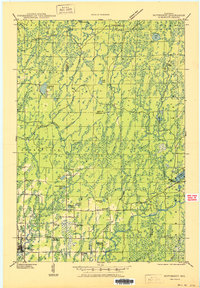
1950 · Butternut
USGS Topo · 1:48,000
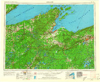
1953 · Ashland
USGS Topo · 1:250,000