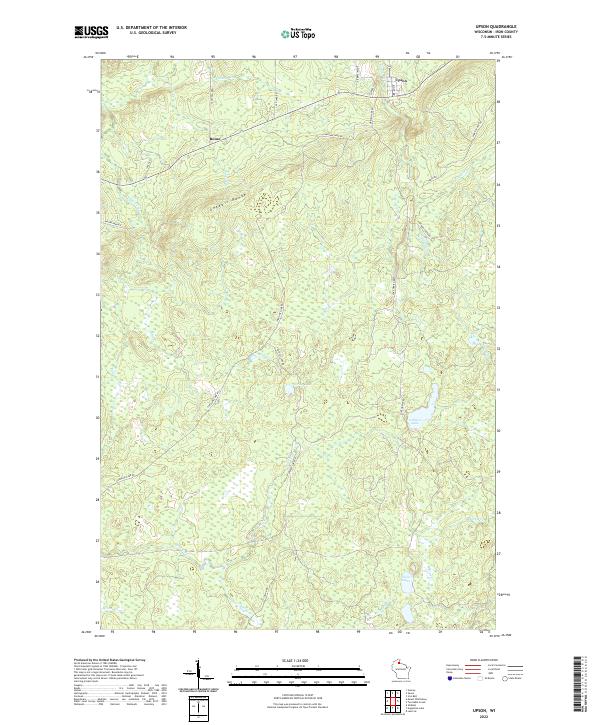
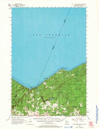
2022 Map of Upson
USGS Topo · Published 2022About this map
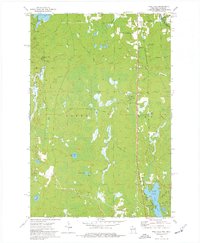
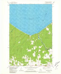
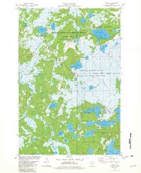
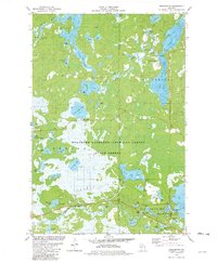
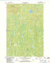
The Gogebic Range dominates the northern half of this Iron County landscape, where the settlement of Upson sits at a historic crossroads. This high ground separates several drainages, including the Potato River and Erickson Cr, which cut through the forested terrain. To the south, the village of Rouse and a network of timber-related routes like Snake Track Rd and Casey Sag Rd suggest a history deeply tied to northern Wisconsin's mineral and lumber resources.
Find a feature on this map
36 named features on this map. Tap any name to fly to it.
Don’t see what you’re looking for? This feature index may not catch every label — zoom into the map to look around manually.
Map Details
Editions of this 2022 Upson Map
This is the sole edition of this map. No revisions or reprints were ever made.
Historical Maps of Anderson Through Time
26 maps found
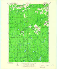
1940 Upson
Iron County, WI
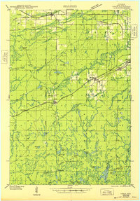
1943 Upson
Iron County, WI
1947 Naults
Iron County, WI
1956 Little Girls Point
Iron County, WI
1956 Upson
Iron County, WI
1973 Lake Evelyn
Iron County, WI
1973 Lake of The Falls
Iron County, WI
1973 Pine Lake
Iron County, WI
1973 Turntable Creek
Iron County, WI
1973 Turtle-Flambeau Flowage
Iron County, WI
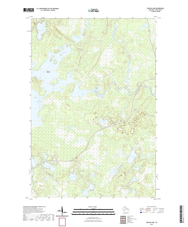
1973 Wilson Lake
Iron County, WI
1980 Oronto Bay
Iron County, WI
1981 Powell
Iron County, WI
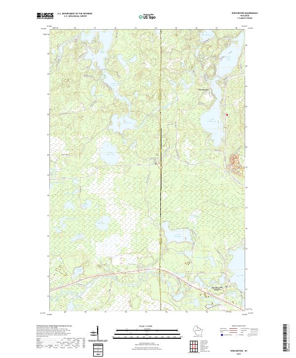
1981 Winchester
Iron County, WI
1984 Lake Six
Iron County, WI
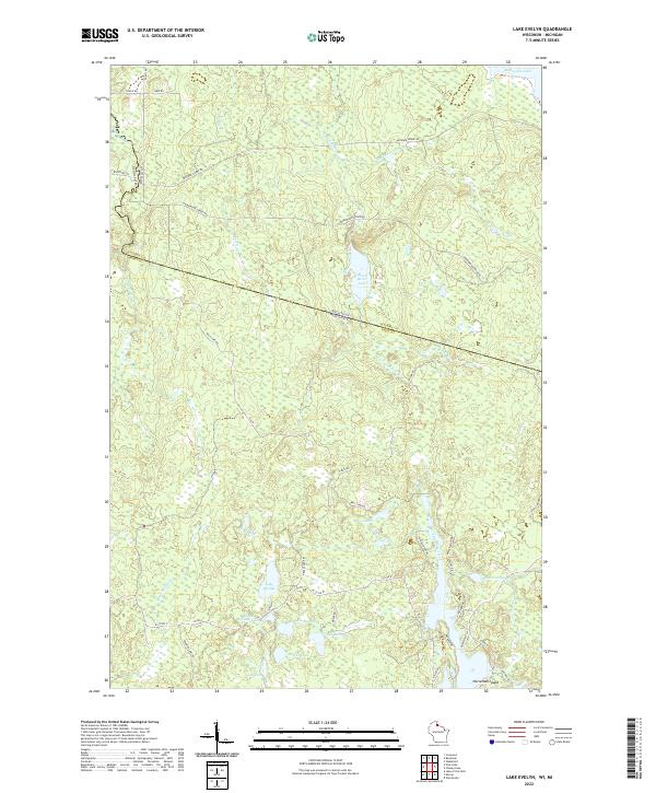
2022 Lake Evelyn
Iron County, WI
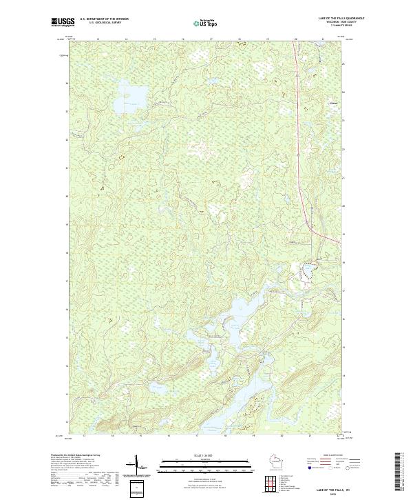
2022 Lake of the Falls
Iron County, WI
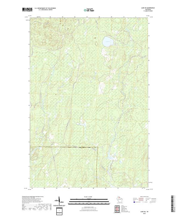
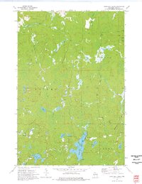
2022 Lake Six
Iron County, WI
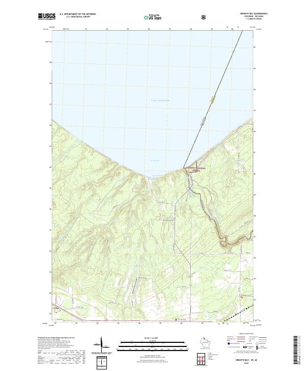
2022 Oronto Bay
Iron County, WI
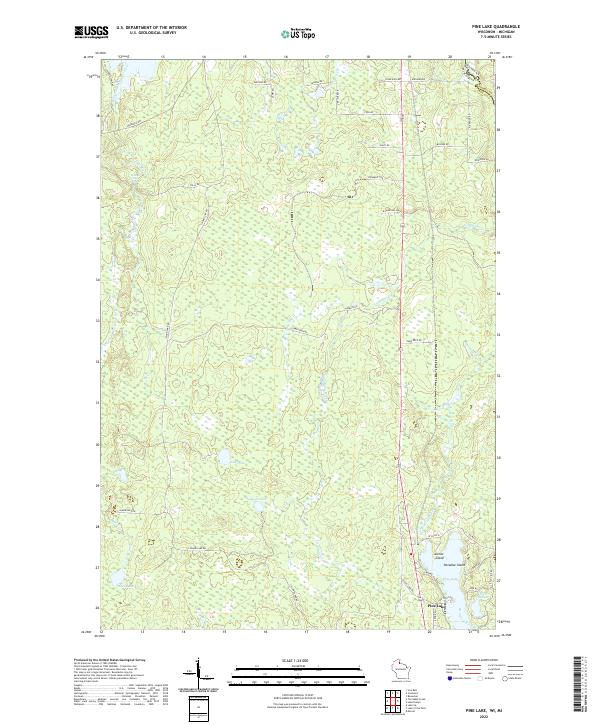
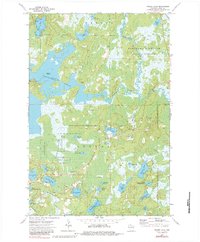
2022 Pine Lake
Iron County, WI
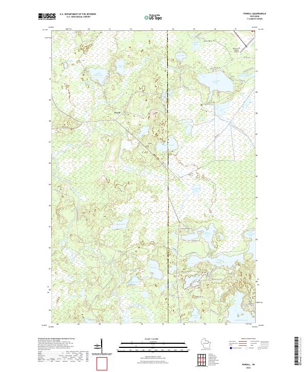
2022 Powell
Iron County, WI
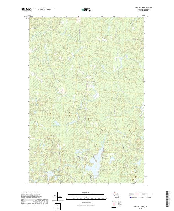
2022 Turntable Creek
Iron County, WI
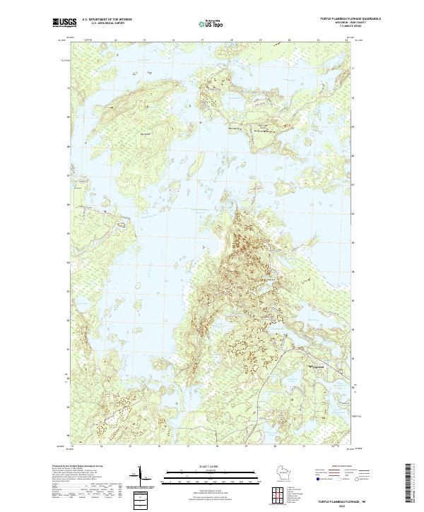
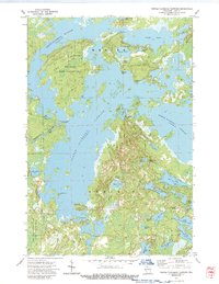
2022 Turtle-Flambeau Flowage
Iron County, WI
2022 Upson
Iron County, WI
2022 Wilson Lake
Iron County, WI
2022 Winchester
Iron County, WI