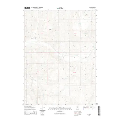
2014 Map of Upton
USGS Topo · Published 2014About this map
Upton sits at the northern edge of this high-elevation landscape, where the Upton Cem serves as a quiet marker of the community's local lineage. The terrain is defined by the significant drainage system of Chalk Cr, which receives waters from the S Fork Chalk Cr and Fish Cr as they cut through the mountainous topography of Summit County. To the east, the Porcupine Reservoir provides a major water feature beneath the heights of Porcupine Ridge.
Find a feature on this map
16 named features on this map. Tap any name to fly to it.
Don’t see what you’re looking for? This feature index may not catch every label — zoom into the map to look around manually.
Map Details
Editions of this 2014 Upton Map
This is the sole edition of this map. No revisions or reprints were ever made.
Other maps of this area
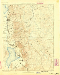
1885 · Salt Lake
USGS Topo · 1:250,000
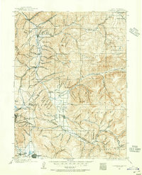
1900 · Coalville
USGS Topo · 1:125,000
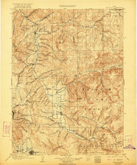
1903 · Coalville
USGS Topo · 1:125,000
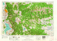
1954 · Salt Lake City
USGS Topo · 1:250,000
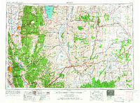
1954 · Ogden
USGS Topo · 1:250,000
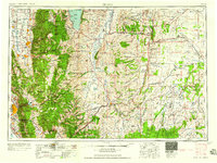
1958 · Ogden
USGS Topo · 1:250,000
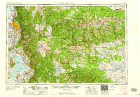
1958 · Salt Lake City
USGS Topo · 1:250,000
1960 · Ogden
USGS Topo · 1:250,000
1960 · Salt Lake City
USGS Topo · 1:250,000
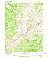
1964 · Heiners Creek
USGS Topo · 1:24,000