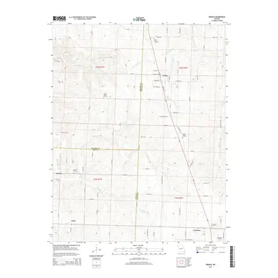
2015 Map of Urbana
USGS Topo · Published 2015About this map
The crossroads of Urbana serves as a central hub for this portion of the Missouri Ozarks, where the convergence of several county roads and local highways defines the community's layout. The landscape is marked by numerous family and community burial grounds, such as Hopewell Cemetery near Huckaby and Crudgington Cemetery further south, providing essential data for genealogists and local historians. Small clusters like Rimby and Louisburg anchor the southern reaches of the map, connected by a network of rural routes that trace the undulating terrain of the watershed.
Find a feature on this map
93 named features on this map. Tap any name to fly to it.
Don’t see what you’re looking for? This feature index may not catch every label — zoom into the map to look around manually.
Map Details
Editions of this 2015 Urbana Map
This is the sole edition of this map. No revisions or reprints were ever made.
Other maps of this area

1884 · Bolivar
USGS Topo · 1:125,000

1892 · Bolivar
USGS Topo · 1:125,000

1949 · Sentinel
USGS Topo · 1:24,000

1950 · Sentinel
USGS Topo · 1:24,000

1950 · Buffalo NW
USGS Topo · 1:24,000

1950 · Polk
USGS Topo · 1:24,000

1950 · Urbana
USGS Topo · 1:24,000

1951 · Buffalo NW
USGS Topo · 1:24,000

1951 · Urbana
USGS Topo · 1:24,000

1951 · Polk
USGS Topo · 1:24,000