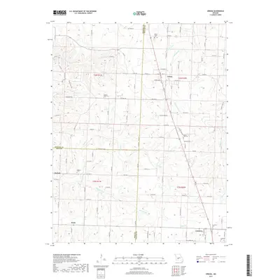
2017 Map of Urbana
USGS Topo · Published 2017About this map
Urbana serves as the primary hub in this southwest Missouri landscape, situated near the intersection of several county lines where Hickory, Polk, and Dallas Counties converge. The region is defined by a dendritic drainage pattern where numerous small waterways, including Ingalls Cr, Stick Br, and Wilkinson Br, carve through the terrain. These streams historically influenced the placement of rural settlements like Huckaby and Rimby, which are connected by a network of state and county roads such as State Hwy AC and State Hwy P.
Find a feature on this map
101 named features on this map. Tap any name to fly to it.
Don’t see what you’re looking for? This feature index may not catch every label — zoom into the map to look around manually.
Map Details
Editions of this 2017 Urbana Map
This is the sole edition of this map. No revisions or reprints were ever made.
Other maps of this area

1884 · Bolivar
USGS Topo · 1:125,000

1892 · Bolivar
USGS Topo · 1:125,000

1949 · Sentinel
USGS Topo · 1:24,000

1950 · Sentinel
USGS Topo · 1:24,000

1950 · Buffalo NW
USGS Topo · 1:24,000

1950 · Polk
USGS Topo · 1:24,000

1950 · Urbana
USGS Topo · 1:24,000

1951 · Buffalo NW
USGS Topo · 1:24,000

1951 · Urbana
USGS Topo · 1:24,000

1951 · Polk
USGS Topo · 1:24,000