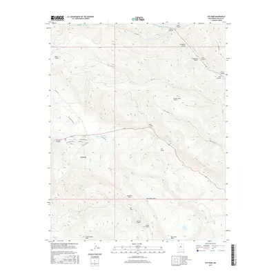
2017 Map of Ute Park
USGS Topo · Published 2017About this map
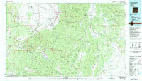
The Cimarron River winds through this New Mexico canyonland, anchoring the small settlement of Ute Park. The landscape is defined by a dense network of drainage systems, including the notable S Ponil Cr and Middle Ponil Cr to the north, and a series of deeply etched landforms such as Turkey Creek Canyon and Bear Canyon. High points like Cimarroncito Peak and Deer Lake Mesa provide significant topographic relief above the river valley.
Find a feature on this map
40 named features on this map. Tap any name to fly to it.
Don’t see what you’re looking for? This feature index may not catch every label — zoom into the map to look around manually.
Map Details
Editions of this 2017 Ute Park Map
This is the sole edition of this map. No revisions or reprints were ever made.
Other maps of this area

1954 · Raton
USGS Topo · 1:250,000
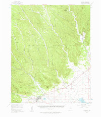
1955 · Cimarron
USGS Topo · 1:62,500
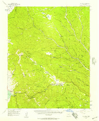
1955 · Ute Park
USGS Topo · 1:62,500
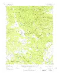
1956 · Tooth Of Time
USGS Topo · 1:62,500
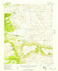
1956 · Miami
USGS Topo · 1:62,500

1958 · Raton
USGS Topo · 1:250,000
1981 · Springer
USGS Topo · 1:100,000
1981 · Raton
USGS Topo · 1:100,000
1982 · Wheeler Peak
USGS Topo · 1:100,000
1983 · Taos
USGS Topo · 1:100,000