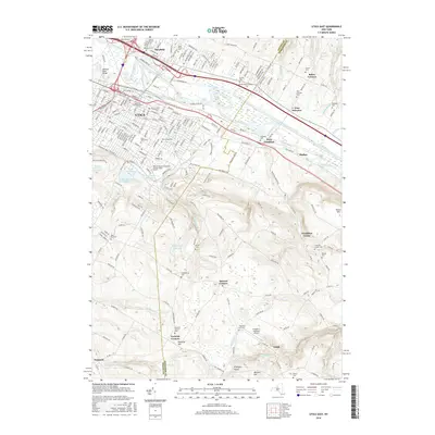
2016 Map of Utica East
USGS Topo · Published 2016About this map
The Erie Canal and Mohawk River dominate the northern landscape of this region, serving as the historical industrial corridor for Utica and its neighboring hamlets. The terrain rises sharply south of the river valley toward Pinnacle Hill, where a complex network of water management features like Graffenburg Reservoir and Starch Factory Cr define the drainage patterns. This transition from the urban density of the Masonic Home and Mohawk Valley Community College-Utica Branch to the rural uplands of Norwich Corners reveals a distinct divide between the manufacturing valley and the agricultural hills. Numerous small burial grounds, such as Norwich Corners Cem and Frankfort Hill Cem, are scattered across the southern ridges, marking the long-established family settlements of the area.
Find a feature on this map
62 named features on this map. Tap any name to fly to it.
Don’t see what you’re looking for? This feature index may not catch every label — zoom into the map to look around manually.
Map Details
Editions of this 2016 Utica East Map
This is the sole edition of this map. No revisions or reprints were ever made.
Other maps of this area

1895 · Oriskany
USGS Topo · 1:62,500

1898 · Utica
USGS Topo · 1:62,500

1898 · Oriskany
USGS Topo · 1:62,500

1900 · Utica
USGS Topo · 1:62,500

1907 · Winfield
USGS Topo · 1:62,500

1907 · Sangerfield
USGS Topo · 1:62,500

1943 · Newport
USGS Topo · 1:24,000

1943 · Utica East
USGS Topo · 1:24,000

1943 · Millers Mills
USGS Topo · 1:24,000

1943 · Cassville
USGS Topo · 1:24,000