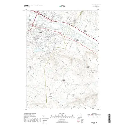
2019 Map of Utica East
USGS Topo · Published 2019About this map
The Erie Canal and Mohawk River dominate the northern landscape of this map, tracing a historic transportation corridor through Deerfield and Utica. This 2019 survey documents the transition from the dense urban grid and industrial sites, such as the Masonic Home and Utica Sch of Commerce, into the elevated terrain of the Oneida Co and Herkimer Co border. South of the city, the topography rises sharply toward Pinnacle Hill and Dutch Hill, where the land is marked by small settlements like Norwich Corners and Frankfort Center. Genealogists will find a wealth of burial grounds across these hills, including the Graffenburg Cem and Norwich Corners Cem. The area’s water management history is visible in a string of reservoirs, from Hopper Reservoir Number 2 to Graffenburg Reservoir, which supported the region's long-standing industrial and municipal growth.
Find a feature on this map
68 named features on this map. Tap any name to fly to it.
Don’t see what you’re looking for? This feature index may not catch every label — zoom into the map to look around manually.
Map Details
Editions of this 2019 Utica East Map
This is the sole edition of this map. No revisions or reprints were ever made.
Other maps of this area

1895 · Oriskany
USGS Topo · 1:62,500

1898 · Utica
USGS Topo · 1:62,500

1898 · Oriskany
USGS Topo · 1:62,500

1900 · Utica
USGS Topo · 1:62,500

1907 · Winfield
USGS Topo · 1:62,500

1907 · Sangerfield
USGS Topo · 1:62,500

1943 · Newport
USGS Topo · 1:24,000

1943 · Utica East
USGS Topo · 1:24,000

1943 · Millers Mills
USGS Topo · 1:24,000

1943 · Cassville
USGS Topo · 1:24,000