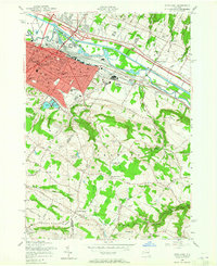
1955 Map of Utica East
USGS Topo · Published 1965About this map
The industrial and transportation corridors of the Mohawk Valley dominate the landscape, where the Erie Canal and New York State Barge Canal run parallel to the New York Central Railroad. The urban density of eastern Utica transitions into the steep hills of Frankfort and Litchfield, revealing a mid-century pattern of suburban expansion and established cultural institutions. Notable landmarks such as the Masonic Home and the Munson-Williams-Proctor Institute anchor the city's eastern edge, while the surrounding heights are dotted with small aviation fields like Highland Airfield and Smithport Airfield.
Find a feature on this map
86 named features on this map. Tap any name to fly to it.
Don’t see what you’re looking for? This feature index may not catch every label — zoom into the map to look around manually.
Map Details
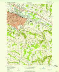
Editions of this 1955 Utica East Map
2 editions found
Other maps of this area

1895 · Oriskany
USGS Topo · 1:62,500

1898 · Utica
USGS Topo · 1:62,500

1898 · Oriskany
USGS Topo · 1:62,500

1900 · Utica
USGS Topo · 1:62,500

1907 · Winfield
USGS Topo · 1:62,500

1907 · Sangerfield
USGS Topo · 1:62,500

1943 · Newport
USGS Topo · 1:24,000

1943 · Utica East
USGS Topo · 1:24,000

1943 · Millers Mills
USGS Topo · 1:24,000

1943 · Cassville
USGS Topo · 1:24,000