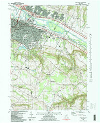
1983 Map of Utica East
USGS Topo · Published 1983About this map
Industrial and institutional history converge in Utica where the Erie Canal and Mohawk River flow past the city's northeast side. The 1983 landscape is defined by its deep connectivity, from the Conrail lines and Thruway to the distinct Utica Harbor. Local education and social infrastructure are prominent, evidenced by the large grounds of the Masonic Home, Mohawk Valley Community College, and numerous parochial institutions like St Agnes Sch.
Find a feature on this map
77 named features on this map. Tap any name to fly to it.
Don’t see what you’re looking for? This feature index may not catch every label — zoom into the map to look around manually.
Map Details
Editions of this 1983 Utica East Map
This is the sole edition of this map. No revisions or reprints were ever made.
Other maps of this area

1895 · Oriskany
USGS Topo · 1:62,500

1898 · Utica
USGS Topo · 1:62,500

1898 · Oriskany
USGS Topo · 1:62,500

1900 · Utica
USGS Topo · 1:62,500

1907 · Winfield
USGS Topo · 1:62,500

1907 · Sangerfield
USGS Topo · 1:62,500

1943 · Newport
USGS Topo · 1:24,000

1943 · Utica East
USGS Topo · 1:24,000

1943 · Millers Mills
USGS Topo · 1:24,000

1943 · Cassville
USGS Topo · 1:24,000