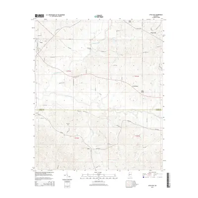
2015 Map of Utica East
USGS Topo · Published 2015About this map
Utica anchor the northwestern portion of this Hinds County landscape, where the town street grid transitions into a network of rural roads following the rolling topography. The survey shows a distinct border transition across the Hinds Co Copiah Co line, where the drainage basins of Tallahalla Creek and White Oak Creek define the movement of early travel. Small rural nodes like Carmichael, Bear Creek, and Jack illustrate the persistent settlement patterns of central Mississippi.
Find a feature on this map
61 named features on this map. Tap any name to fly to it.
Don’t see what you’re looking for? This feature index may not catch every label — zoom into the map to look around manually.
Map Details
Editions of this 2015 Utica East Map
This is the sole edition of this map. No revisions or reprints were ever made.
Other maps of this area

1903 · Jackson
USGS Topo · 1:125,000

1937 · Terry
USGS Topo · 1:48,000

1943 · Terry
USGS Topo · 1:62,500

1953 · Natchez
USGS Topo · 1:250,000

1955 · Jackson
USGS Topo · 1:250,000

1956 · Natchez
USGS Topo · 1:250,000

1959 · Natchez
USGS Topo · 1:250,000

1961 · Jackson
USGS Topo · 1:250,000

1962 · Jackson
USGS Topo · 1:250,000

1962 · Utica West
USGS Topo · 1:24,000