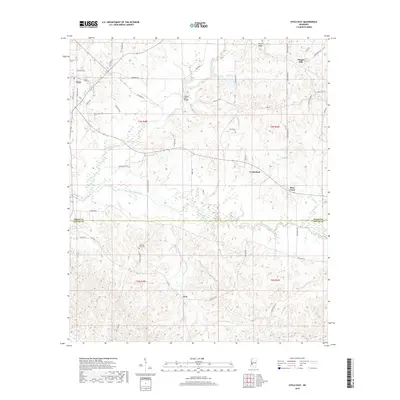
2018 Map of Utica East
USGS Topo · Published 2018About this map
Utica occupies the northwestern corner of this landscape, serving as a hub for the network of rural roads that stretch across the Hinds and Copiah County line. The terrain is defined by the winding paths of Tallahalla Creek and White Oak Creek, which create a complex system of drainages including Saddlers Cr and Alford Br. These watercourses historically dictated the placement of small rural communities and crossings like the Rather Ford Bridge.
Find a feature on this map
56 named features on this map. Tap any name to fly to it.
Don’t see what you’re looking for? This feature index may not catch every label — zoom into the map to look around manually.
Map Details
Editions of this 2018 Utica East Map
This is the sole edition of this map. No revisions or reprints were ever made.
Other maps of this area

1903 · Jackson
USGS Topo · 1:125,000

1937 · Terry
USGS Topo · 1:48,000

1943 · Terry
USGS Topo · 1:62,500

1953 · Natchez
USGS Topo · 1:250,000

1955 · Jackson
USGS Topo · 1:250,000

1956 · Natchez
USGS Topo · 1:250,000

1959 · Natchez
USGS Topo · 1:250,000

1961 · Jackson
USGS Topo · 1:250,000

1962 · Jackson
USGS Topo · 1:250,000

1962 · Utica West
USGS Topo · 1:24,000